
1940 Map of Brinkley
USGS Topo · Published 1942About this map
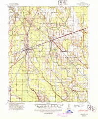
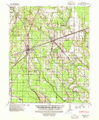
Brinkley serves as a major rail hub in eastern Arkansas, where the Chicago Rock Island & Pacific RR, Missouri Pacific RR, and ST Louis Southwestern RR intersect. This transportation nexus shaped the surrounding agricultural landscape of Monroe, St. Francis, and Lee counties. The map captures a detailed network of rural education and worship, from the Lennon High School to community landmarks like Garret Grove Ch Sch & Cem and New Mt Cannan Ch & Sch.
Find a feature on this map
62 named features on this map. Tap any name to fly to it.
Don’t see what you’re looking for? This feature index may not catch every label — zoom into the map to look around manually.
Map Details
Editions of this 1940 Brinkley Map
3 editions found
Other maps of this area

1935 · Clarendon
USGS Topo · 1:62,500

1935 · Gregory
USGS Topo · 1:62,500

1939 · Wynne
USGS Topo · 1:62,500

1939 · Hunter
USGS Topo · 1:62,500

1940 · Marvell
USGS Topo · 1:62,500

1940 · Holly Grove
USGS Topo · 1:62,500

1940 · Marianna
USGS Topo · 1:62,500

1941 · De Valls Bluff
USGS Topo · 1:62,500

1941 · Clarendon
USGS Topo · 1:62,500

1948 · Helena
USGS Topo · 1:250,000