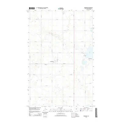
2014 Map of Brinsmade
USGS Topo · Published 2014About this map
Brinsmade sits at the intersection of a grid of sectional roads in Benson County, centered on Benson Ave NE and Elm St. This prairie landscape is defined by its glacial hydrology, featuring a cluster of named water bodies in the northeast such as Silver Lake, O'Connell Lake, and the uniquely named Stink Lake. These lakes are connected by dramatic terrain features including Big Coulee and Little Coulee, which disrupt the otherwise orderly township and range divisions. The local geography is anchored by transport corridors like Us-281 and CR-0325. For those looking into local history or genealogy, the Brinsmade Cem provides a specific point of interest just southwest of the town site, reflecting the long-established footprint of this agricultural community.
Find a feature on this map
28 named features on this map. Tap any name to fly to it.
Don’t see what you’re looking for? This feature index may not catch every label — zoom into the map to look around manually.
Map Details
Editions of this 2014 Brinsmade Map
This is the sole edition of this map. No revisions or reprints were ever made.
Other maps of this area

1932 · Grahams Island
USGS Topo · 1:62,500

1950 · Grahams Island
USGS Topo · 1:62,500

1951 · Tilden
USGS Topo · 1:24,000

1951 · Minnewaukan East
USGS Topo · 1:24,000

1953 · Devils Lake
USGS Topo · 1:250,000

1956 · Devils Lake
USGS Topo · 1:250,000

1956 · Brinsmade
USGS Topo · 1:24,000

1957 · Comstock
USGS Topo · 1:24,000

1957 · Churchs Ferry
USGS Topo · 1:24,000
1957 · Brinsmade
USGS Topo · 1:24,000