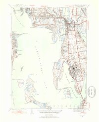
1939 Map of Bristol
USGS Topo · Published 1953About this map
Bristol and Warren dominate this coastal survey, which details the peninsula between the Warren River and Mount Hope Bay just before the mid-century. The landscape is a mix of dense town grids and large institutional footprints, such as the Soldiers Home and the sprawling Rhode Island Country Club at Nayatt Point. Transport networks are well-defined, showing the New Haven and Hartford RR corridor and the Mount Hope Bridge connecting to Aquidneck Island.
Find a feature on this map
99 named features on this map. Tap any name to fly to it.
Don’t see what you’re looking for? This feature index may not catch every label — zoom into the map to look around manually.
Map Details
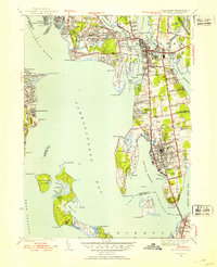
Editions of this 1939 Bristol Map
2 editions found
Other maps of this area

1885 · Taunton
USGS Topo · 1:62,500

1887 · Providence
USGS Topo · 1:62,500

1888 · Fall River
USGS Topo · 1:62,500

1888 · Taunton
USGS Topo · 1:62,500

1889 · Providence
USGS Topo · 1:62,500

1890 · Narragansett Bay
USGS Topo · 1:62,500

1892 · Narragansett Bay
USGS Topo · 1:62,500

1893 · Taunton
USGS Topo · 1:62,500

1893 · Fall River
USGS Topo · 1:62,500

1894 · Providence
USGS Topo · 1:62,500