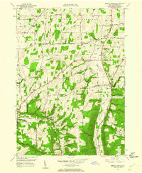
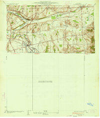
1951 Map of Bristol Center
USGS Topo · Published 1960About this map
Mud Creek and the Bristol Valley anchor this mid-century topographic record of Ontario County, where the transition from flat farmland to deeply carved gullies defines the local geography. Numerous small crossroads and family-named landmarks such as Mayweed Corner, Gladding Corner, and Fletcher Corners illustrate the dispersed rural settlement pattern common before post-war consolidation. The landscape is dotted with several family and community burial grounds, including Wheeler Cem, Andrews Cem, and the Doyle Cem near Honeoye Park.
Find a feature on this map
46 named features on this map. Tap any name to fly to it.
Don’t see what you’re looking for? This feature index may not catch every label — zoom into the map to look around manually.
Map Details
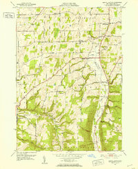
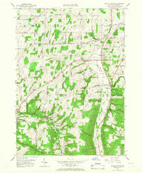
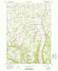
Editions of this 1951 Bristol Center Map
4 editions found
Other maps of this area

1900 · Naples
USGS Topo · 1:62,500

1900 · Canandaigua
USGS Topo · 1:62,500

1901 · Honeoye
USGS Topo · 1:62,500

1902 · Wayland
USGS Topo · 1:62,500

1903 · Naples
USGS Topo · 1:62,500

1903 · Canandaigua
USGS Topo · 1:62,500

1904 · Wayland
USGS Topo · 1:62,500

1904 · Honeoye
USGS Topo · 1:62,500

1913 · Naples
USGS Topo · 1:62,500
1934 · Honeoye Falls
USGS Topo · 1:24,000