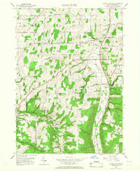
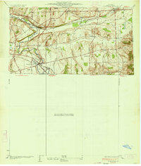
1951 Map of Bristol Center
USGS Topo · Published 1967About this map
Mud Creek and Bristol Creek carve deep through the township boundaries of Bristol and South Bristol in this 1951 topographic study. The landscape is defined by its numerous small crossroads settlements and family-named corners, such as Baptist Hill, Mayweed Corner, and Fletcher Corners. These small nodes represent a post-war rural infrastructure where local life centered around the intersection of routes like Stetson Road and Silvernail Road.
Find a feature on this map
45 named features on this map. Tap any name to fly to it.
Don’t see what you’re looking for? This feature index may not catch every label — zoom into the map to look around manually.
Map Details
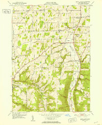
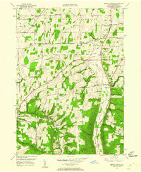
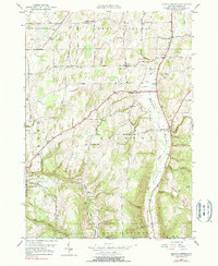
Editions of this 1951 Bristol Center Map
4 editions found
Other maps of this area

1900 · Naples
USGS Topo · 1:62,500

1900 · Canandaigua
USGS Topo · 1:62,500

1901 · Honeoye
USGS Topo · 1:62,500

1902 · Wayland
USGS Topo · 1:62,500

1903 · Naples
USGS Topo · 1:62,500

1903 · Canandaigua
USGS Topo · 1:62,500

1904 · Wayland
USGS Topo · 1:62,500

1904 · Honeoye
USGS Topo · 1:62,500

1913 · Naples
USGS Topo · 1:62,500
1934 · Honeoye Falls
USGS Topo · 1:24,000