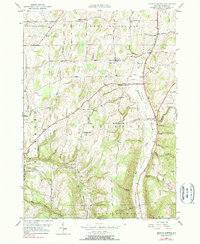
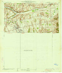
1951 Map of Bristol Center
USGS Topo · Published 1990About this map
Baptist Hill and Bristol Center anchor this mid-century topographic survey of Ontario County, where the deep north-south incision of the Bristol Valley dictates the local geography. The landscape is defined by its small, scattered rural crossroads and family-named hamlets, including Vincent, Abbey, and Speakers Corner. Genealogists will find a wealth of specific local landmarks, including several rural burial grounds such as Wheeler Cem, Andrews Cem, and Doyle Cem.
Find a feature on this map
40 named features on this map. Tap any name to fly to it.
Don’t see what you’re looking for? This feature index may not catch every label — zoom into the map to look around manually.
Map Details
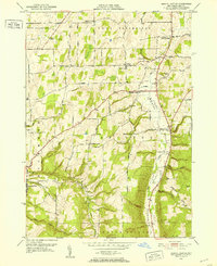
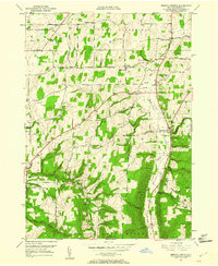
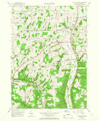
Editions of this 1951 Bristol Center Map
4 editions found
Other maps of this area

1900 · Naples
USGS Topo · 1:62,500

1900 · Canandaigua
USGS Topo · 1:62,500

1901 · Honeoye
USGS Topo · 1:62,500

1902 · Wayland
USGS Topo · 1:62,500

1903 · Naples
USGS Topo · 1:62,500

1903 · Canandaigua
USGS Topo · 1:62,500

1904 · Wayland
USGS Topo · 1:62,500

1904 · Honeoye
USGS Topo · 1:62,500

1913 · Naples
USGS Topo · 1:62,500
1934 · Honeoye Falls
USGS Topo · 1:24,000