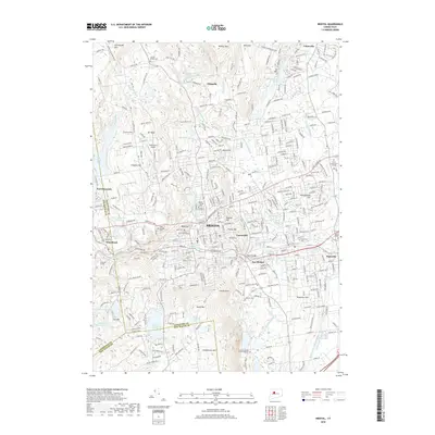
2018 Map of Bristol
USGS Topo · Published 2018About this map
The industrial and residential heart of Bristol is defined by its varied topography, ranging from the heights of Johnnycake Mtn and Wildcat Mtn to the bustling neighborhoods of Federal Hill and Forestville. This survey illustrates the dense suburban and urban grain of the region, featuring significant educational and infrastructure landmarks like Tunxis Community College and the Terryville Tunnel. The historical legacy of the area's manufacturing roots is hinted at by features such as the Dunham Millbond and the complex drainage of the Pequabuck River.
Find a feature on this map
79 named features on this map. Tap any name to fly to it.
Don’t see what you’re looking for? This feature index may not catch every label — zoom into the map to look around manually.
Map Details
Editions of this 2018 Bristol Map
This is the sole edition of this map. No revisions or reprints were ever made.
Other maps of this area

1892 · Winsted
USGS Topo · 1:62,500

1892 · Meriden
USGS Topo · 1:62,500

1892 · Granby
USGS Topo · 1:62,500

1893 · Waterbury
USGS Topo · 1:62,500

1893 · Meriden
USGS Topo · 1:62,500

1904 · Waterbury
USGS Topo · 1:62,500

1904 · Litchfield
USGS Topo · 1:125,000

1906 · Farmington
USGS Topo · 1:125,000
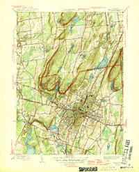
1946 · Meriden
USGS Topo · 1:31,680
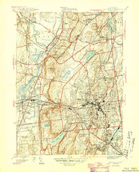
1946 · New Britain
USGS Topo · 1:31,680