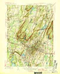
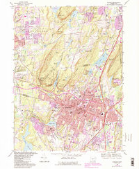
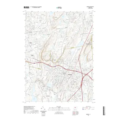
1946 Map of Meriden
USGS Topo · Published 1946About this map
The Hanging Hills and Lamentation Mtn dominate this mid-century portrait of Central Connecticut, where the industrial city of Meriden sits in a valley of volcanic trap rock ridges. The landscape is a complex mix of urban density and institutional grounds, including the State School for Boys and the Undercliff Sanatorium. Transport and water infrastructure are highly developed, with the New York New Haven and Hartford railroad following the path of the Quinnipiac River through South Meriden.
Find a feature on this map
70 named features on this map. Tap any name to fly to it.
Don’t see what you’re looking for? This feature index may not catch every label — zoom into the map to look around manually.
Map Details
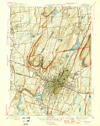
Editions of this 1946 Meriden Map
2 editions found
Historical Maps of Meriden Through Time
10 maps found

1892 Meriden
New Haven County, CT
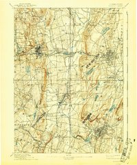
1893 Meriden
New Haven County, CT
1946 Meriden
New Haven County, CT
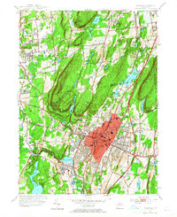
1955 Meriden
New Haven County, CT
1967 Meriden
New Haven County, CT
2012 Meriden
New Haven County, CT
2015 Meriden
New Haven County, CT
2018 Meriden
New Haven County, CT
2021 Meriden
New Haven County, CT
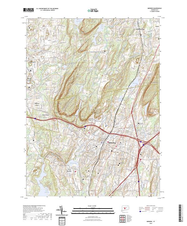
2024 Meriden
New Haven County, CT