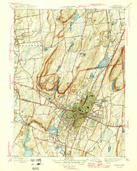
1946 Map of Meriden
USGS Topo · Published 1946About this map
Meriden and its surrounding industrial and residential landscape are defined by the dramatic trap rock ridges of the Hanging Hills and Lamentation Mountain. This mid-century survey illustrates a city shaped by its topography, with the urban core concentrated in the valley between these heights and the Quinnipiac River. The presence of institutions like the Undercliff Sanatorium and the State School for Boys reflects the social infrastructure of 1940s Connecticut, while the Meriden Airport and New Haven and Hartford rail lines mark its importance as a regional transportation hub.
Find a feature on this map
70 named features on this map. Tap any name to fly to it.
Don’t see what you’re looking for? This feature index may not catch every label — zoom into the map to look around manually.
Map Details
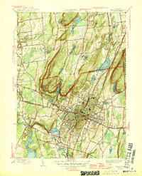
Editions of this 1946 Meriden Map
2 editions found
Other maps of this area

1892 · New Haven
USGS Topo · 1:62,500

1892 · Meriden
USGS Topo · 1:62,500

1893 · Guilford
USGS Topo · 1:62,500

1893 · Middletown
USGS Topo · 1:62,500

1893 · Meriden
USGS Topo · 1:62,500

1906 · Farmington
USGS Topo · 1:125,000

1921 · New Haven
USGS Topo · 1:62,500

1928 · Cromwell
USGS Topo · 1:24,000

1943 · Durham
USGS Topo · 1:25,000

1944 · Hartford South
USGS Topo · 1:31,680