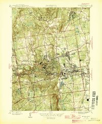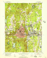
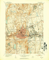
1953 Map of Bristol
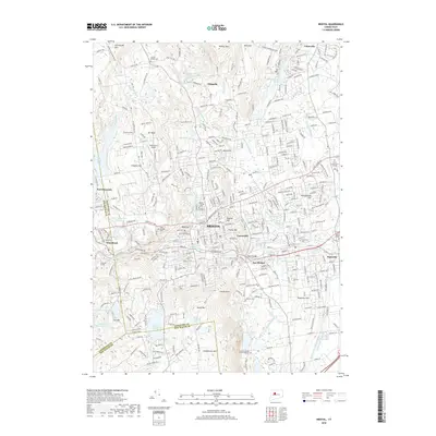
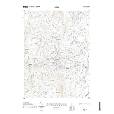
USGS Topo · Published 1956About this map
Bristol serves as a dense industrial and residential hub during this mid-century period, centered along the New York New Haven and Hartford Railroad and the Pequabuck River. The urban core is flanked by prominent heights like Federal Hill and Hurley Hill, while the surrounding landscape reveals a network of distinct neighborhoods and smaller settlements including Forestville, Edgewood, and Whigville. The map captures an era of established educational and religious infrastructure, featuring numerous parochial and public institutions such as Emmanuel Sch, St Anne Sch, and The Chapel.
Find a feature on this map
218 named features on this map. Tap any name to fly to it.
Don’t see what you’re looking for? This feature index may not catch every label — zoom into the map to look around manually.
Map Details
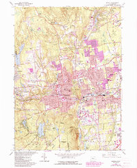
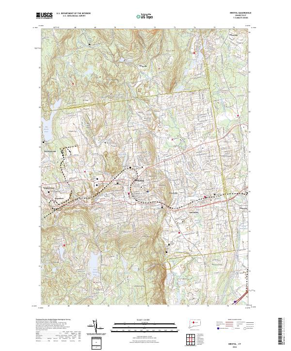
Editions of this 1953 Bristol Map
3 editions found
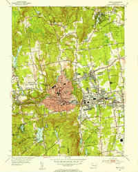
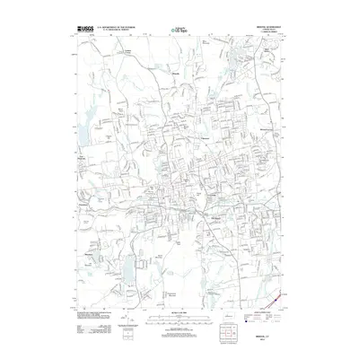
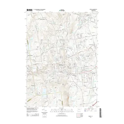
Historical Maps of Bristol Through Time
8 maps found