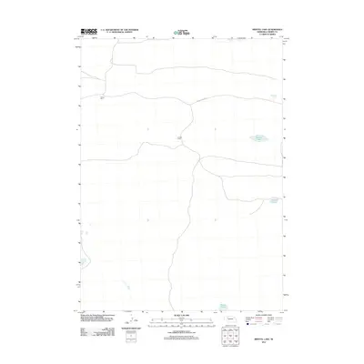
2011 Map of Bristol Lake
USGS Topo · Published 2011About this map
Bristol Lake and its surrounding alkali waters punctuate this remote expanse of the Nebraska Sandhills in Cherry County. The landscape is defined by its ranching heritage and isolated water bodies, where the grid of sections meets the winding path of Survey Valley Rd. Private holdings like the Yauney Ranch and B Adam Ranch represent the sparse settlement pattern characteristic of this cattle-country interior. Apart from the larger central basin, smaller features such as Church Lake and Preston Lake provide essential landmarks for navigating the undulating terrain. This 2011 survey serves as a clear record of the region's hydrography and road network, documenting the specific ranching headquarters that anchor local history in one of the most sparsely populated corners of the state.
Find a feature on this map
6 named features on this map. Tap any name to fly to it.
Don’t see what you’re looking for? This feature index may not catch every label — zoom into the map to look around manually.
Map Details
Editions of this 2011 Bristol Lake Map
This is the sole edition of this map. No revisions or reprints were ever made.
Other maps of this area

1948 · Ashby
USGS Topo · 1:62,500

1948 · Whitman
USGS Topo · 1:62,500

1949 · Ashby
USGS Topo · 1:62,500

1949 · Steverson Lake
USGS Topo · 1:62,500

1949 · Turpin Lake
USGS Topo · 1:62,500

1950 · Whitman
USGS Topo · 1:62,500

1951 · Steverson Lake
USGS Topo · 1:62,500

1951 · Turpin Lake
USGS Topo · 1:62,500

1957 · Valentine
USGS Topo · 1:250,000

1959 · Valentine
USGS Topo · 1:250,000