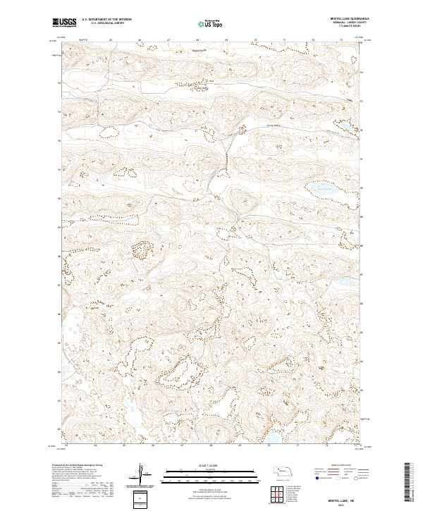
2021 Map of Bristol Lake
USGS Topo · Published 2021About this map
Waupan Valley and Ideal Valley define the undulating sandhills of Cherry County, Nebraska, where water is the primary landmark on an otherwise open landscape. This 2021 topographic survey by the U.S. Geological Survey illustrates a sparse network of ranch-access routes, primarily Survey Valley Rd, which winds through the central corridor of the quadrangle. Significant water bodies such as Bristol Lake, Church Lake, and Preston Lake provide the only breaks in the rolling terrain, marking critical points for local geography and hydrology. The map reflects a highly rural environment governed by the Public Land Survey System, as evidenced by the grid of township and range lines including t27n r38w and t28n r39w, which continue to organize the ranchlands of the Nebraska Panhandle region.
Find a feature on this map
13 named features on this map. Tap any name to fly to it.
Don’t see what you’re looking for? This feature index may not catch every label — zoom into the map to look around manually.
Map Details
Editions of this 2021 Bristol Lake Map
This is the sole edition of this map. No revisions or reprints were ever made.
Other maps of this area

1948 · Ashby
USGS Topo · 1:62,500

1948 · Whitman
USGS Topo · 1:62,500

1949 · Ashby
USGS Topo · 1:62,500

1949 · Steverson Lake
USGS Topo · 1:62,500

1949 · Turpin Lake
USGS Topo · 1:62,500

1950 · Whitman
USGS Topo · 1:62,500

1951 · Steverson Lake
USGS Topo · 1:62,500

1951 · Turpin Lake
USGS Topo · 1:62,500

1957 · Valentine
USGS Topo · 1:250,000

1959 · Valentine
USGS Topo · 1:250,000