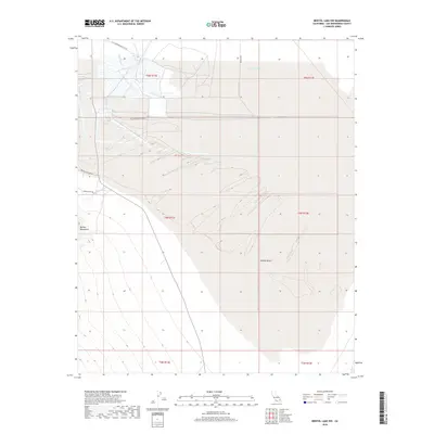
2018 Map of Bristol Lake NW
USGS Topo · Published 2018About this map
Bristol Lake dominates the northern reaches of this arid landscape, characterized by the expansive industrial footprint of the Salt Evaporation Plan St. This site in the Mojave Desert reveals a terrain shaped by mineral extraction and desert transit, where linear infrastructure meets the natural contours of the dry lake bed. To the west, the foothills of the Bullion Mountains rise from the desert floor, providing a stark topographical contrast to the basin below. The presence of routes like America Mine Rd and Bristol Dry Lake Rd underscores a history of mining and logistical access in this part of San Bernardino County. Researchers can trace the geometric patterns of evaporation ponds and the faint tracks of Mayfair Dr as they navigate the transition from mountains to salt pans.
Find a feature on this map
13 named features on this map. Tap any name to fly to it.
Don’t see what you’re looking for? This feature index may not catch every label — zoom into the map to look around manually.
Map Details
Editions of this 2018 Bristol Lake NW Map
This is the sole edition of this map. No revisions or reprints were ever made.
Other maps of this area

1942 · Amboy
USGS Topo · 1:250,000

1943 · Amboy
USGS Topo · 1:250,000

1954 · Needles
USGS Topo · 1:250,000

1954 · Bristol Lake NW
USGS Topo · 1:24,000

1954 · Amboy Crater
USGS Topo · 1:24,000

1954 · Bristol Lake SW
USGS Topo · 1:24,000

1955 · Lead Mtn. NE
USGS Topo · 1:24,000
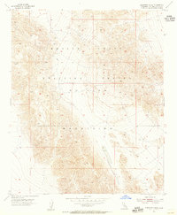
1955 · Cleghorn Lakes
USGS Topo · 1:24,000

1955 · Lead Mountain
USGS Topo · 1:62,500

1956 · Needles
USGS Topo · 1:250,000