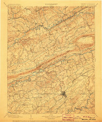
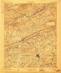
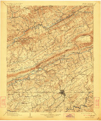
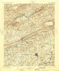
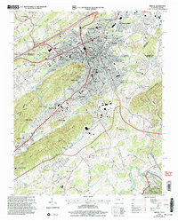
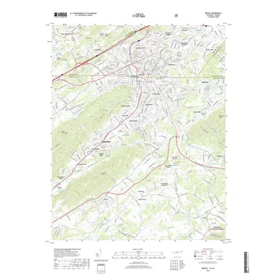
1902 Map of Bristol
USGS Topo · Published 1906About this map
The Clinch River and South Fork Holston River carve through a landscape of parallel ridges in this survey from the late nineteenth and early twentieth centuries. Spanning the state line, the area is defined by a dense network of early industry and transportation, including the Norfolk and Western R.R. and the South Atlantic and Ohio R.R. which connected coal and timber outposts like Virginia City and Coeburn.
Find a feature on this map
159 named features on this map. Tap any name to fly to it.
Don’t see what you’re looking for? This feature index may not catch every label — zoom into the map to look around manually.
Map Details
Editions of this 1902 Bristol Map
6 editions found

Historical Maps of Kingsport Through Time
12 maps found

1897 Bristol
Sullivan County, TN
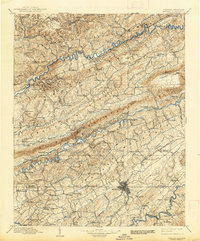
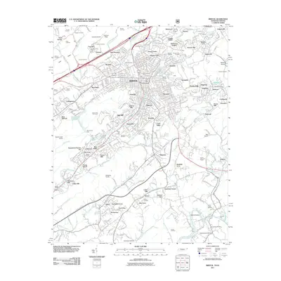
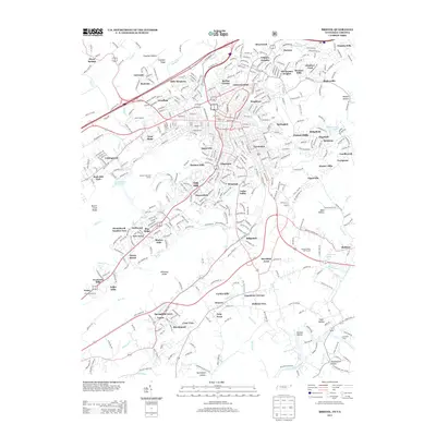
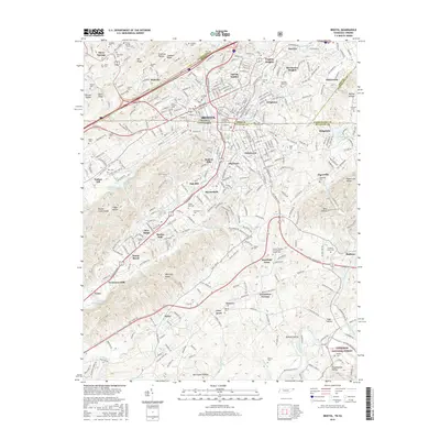
1902 Bristol
Sullivan County, TN
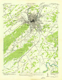
1934 Bristol
Sullivan County, TN
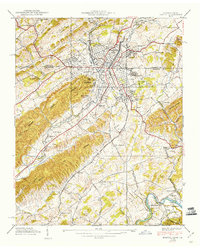
1938 Bristol
Sullivan County, TN
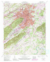
1959 Bristol
Sullivan County, TN

1981 Bristol
Sullivan County, TN
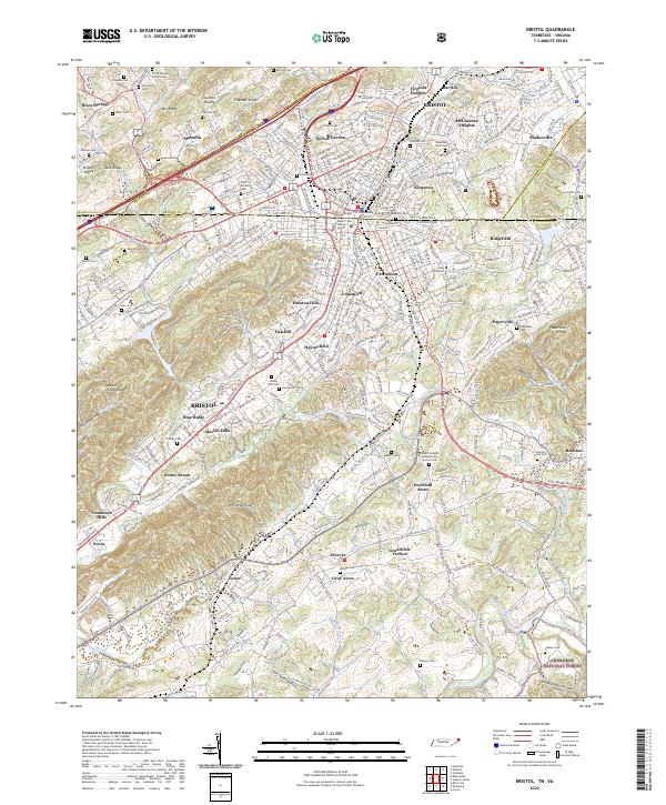
2003 Bristol
Sullivan County, TN
2011 Bristol
Sullivan County, TN
2013 Bristol
Sullivan County, TN
2016 Bristol
Sullivan County, TN
2019 Bristol
Sullivan County, TN
2022 Bristol
Sullivan County, TN