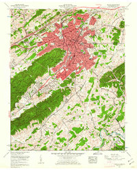
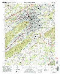
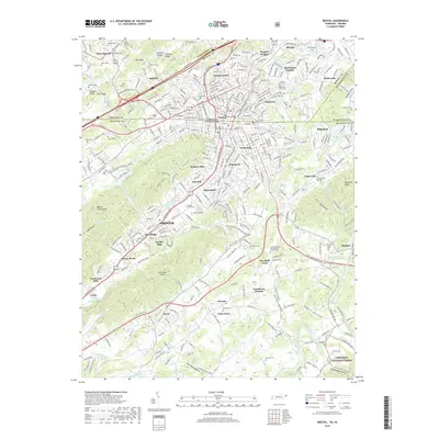
1959 Map of Bristol
USGS Topo · Published 1962About this map
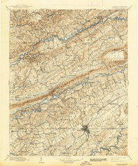
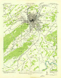
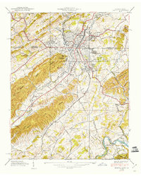
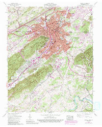
The twin cities of Bristol straddle the state line as shown in this 1959 survey, where the urban center meets the distinctive ridges of the Beaver Creek Knobs. The landscape is a complex intersection of industry and civic life, defined by the convergence of the Southern Ry and the Norfolk and Western Ry. Residential expansion is evident in established neighborhoods such as Virginia Heights, Fairmount, and Holston Hills, while more rural reaches like Three Springs and Paperville maintain their agricultural character.
Find a feature on this map
104 named features on this map. Tap any name to fly to it.
Don’t see what you’re looking for? This feature index may not catch every label — zoom into the map to look around manually.
Map Details
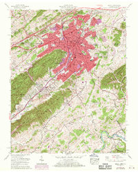
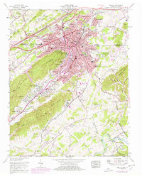
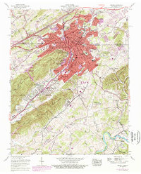
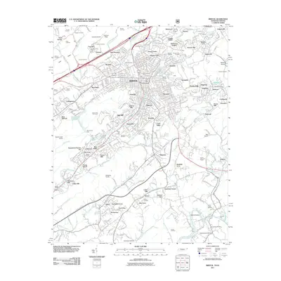
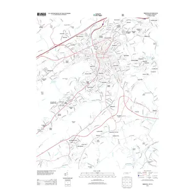
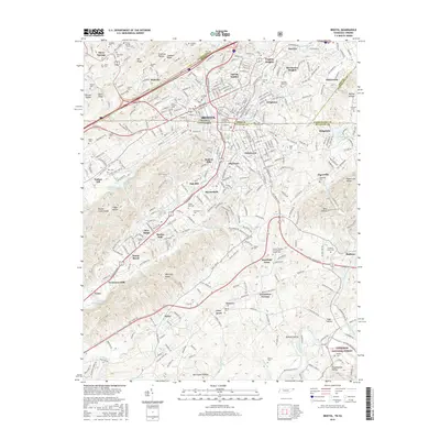
Editions of this 1959 Bristol Map
5 editions found
Historical Maps of Bristol Through Time
12 maps found

1897 Bristol
Sullivan County, TN
1902 Bristol
Sullivan County, TN
1934 Bristol
Sullivan County, TN
1938 Bristol
Sullivan County, TN
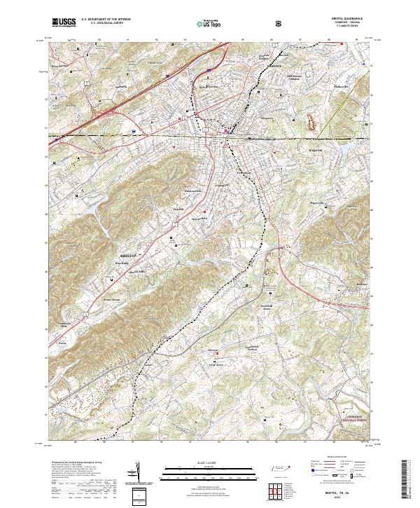
1959 Bristol
Sullivan County, TN

1981 Bristol
Sullivan County, TN
2003 Bristol
Sullivan County, TN
2011 Bristol
Sullivan County, TN
2013 Bristol
Sullivan County, TN
2016 Bristol
Sullivan County, TN
2019 Bristol
Sullivan County, TN
2022 Bristol
Sullivan County, TN