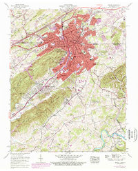
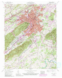
1959 Map of Bristol
USGS Topo · Published 1978About this map
Bristol straddles the state line between Virginia and Tennessee, serving as a significant regional hub where the Southern and Norfolk and Western railroads intersect. The mid-century urban core is surrounded by developing neighborhoods like Fairmount, Virginia Heights, and McChesney Heights. Educational institutions are prominent across the landscape, including Virginia Intermont College, King College, and local schools such as Douglas High Sch.
Find a feature on this map
100 named features on this map. Tap any name to fly to it.
Don’t see what you’re looking for? This feature index may not catch every label — zoom into the map to look around manually.
Map Details
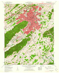
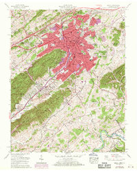
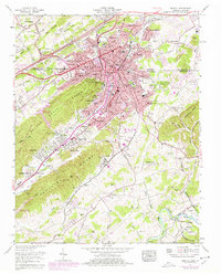
Editions of this 1959 Bristol Map
5 editions found
Other maps of this area

1891 · Roan Mountain
USGS Topo · 1:125,000

1894 · Roan Mountain
USGS Topo · 1:125,000

1897 · Bristol
USGS Topo · 1:125,000

1902 · Bristol
USGS Topo · 1:125,000

1904 · Roan Mountain
USGS Topo · 1:125,000

1934 · Wallace
USGS Topo · 1:24,000

1934 · Holston Valley
USGS Topo · 1:24,000

1934 · Wyndale
USGS Topo · 1:24,000

1934 · Bristol
USGS Topo · 1:24,000

1935 · Watauga Valley
USGS Topo · 1:48,000