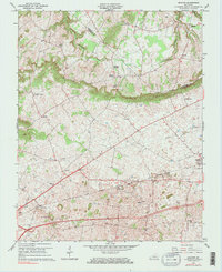
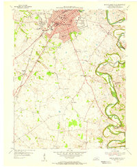
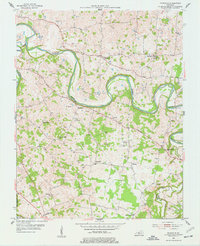
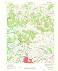
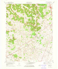
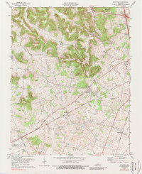
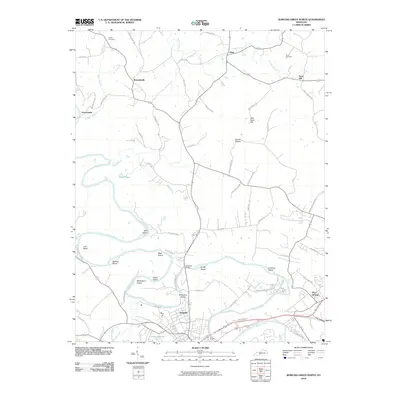
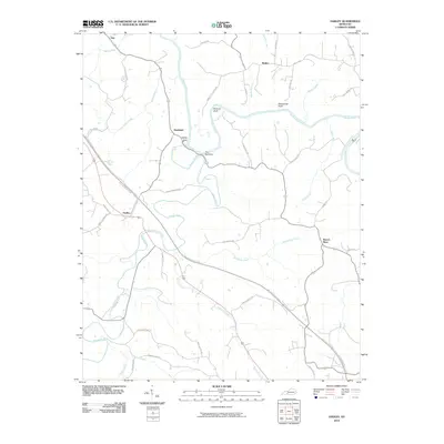
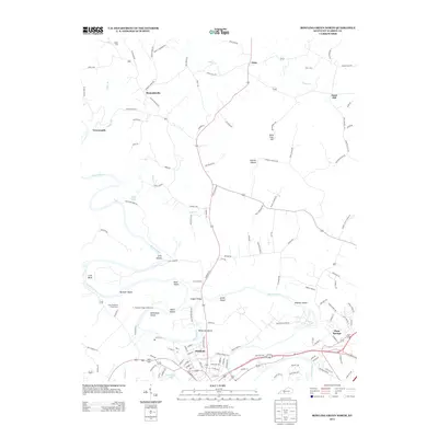
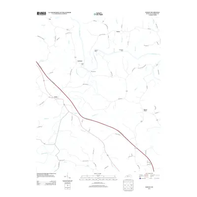
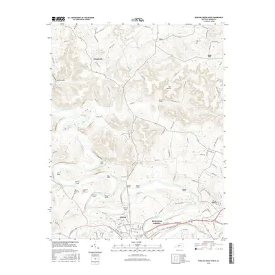
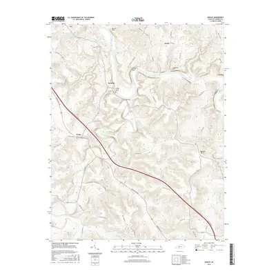
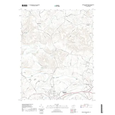
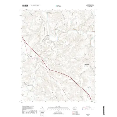
1965 Map of Bristow
USGS Topo · Published 1983About this map
The prominent ridge line of The Knobs slices through this 1960s landscape, creating a distinct natural boundary between the rugged northern uplands and the flatter, more densely settled southern plains. Along the base of these hills, the Louisville and Nashville railroad serves as the primary artery for local commerce, connecting established communities like Bristow and Oakland. The area's social life is anchored by numerous rural institutions, including Jackson Grove Ch and Cowles Chapel, which stand alongside small educational centers like Bristow Sch. North of the ridge, the terrain is defined by the winding path of Little Beaverdam Creek and smaller hamlets such as Girkin and Boiling Spring. This survey captures a moment when the regional infrastructure was maturing, visible in the industrial presence of a Quarry near Bristow and the extensive utility corridors labeled simply as Pipeline.
Find a feature on this map
23 named features on this map. Tap any name to fly to it.
Don’t see what you’re looking for? This feature index may not catch every label — zoom into the map to look around manually.
Map Details
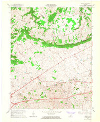
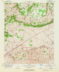
Editions of this 1965 Bristow Map
2 editions found
Historical Maps of Bowling Green Through Time
60 maps found
1952 Rockfield
Warren County, KY
1954 Bowling Green North
Warren County, KY
1954 Bowling Green South
Warren County, KY
1954 Bristow
Warren County, KY
1954 Drake
Warren County, KY
1954 Hadley
Warren County, KY

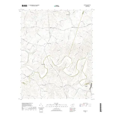
1954 Meador
Warren County, KY
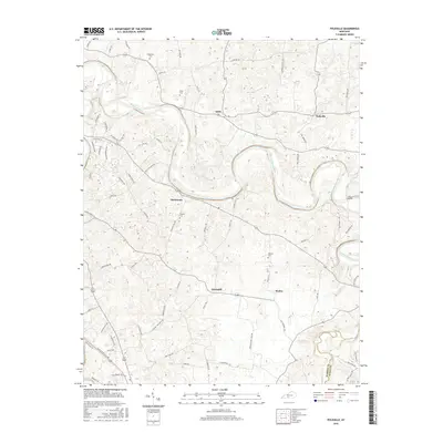
1954 Polkville
Warren County, KY
1959 Bowling Green North
Warren County, KY
1959 Bowling Green South
Warren County, KY
1965 Bristow
Warren County, KY
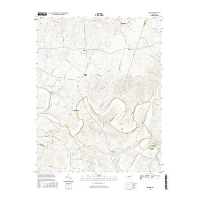
1965 Meador
Warren County, KY
1968 Bowling Green North
Warren County, KY
1968 Bowling Green South
Warren County, KY
1968 Drake
Warren County, KY
1973 Hadley
Warren County, KY
1973 Rockfield
Warren County, KY
1979 Rockfield
Warren County, KY
1993 Bowling Green North
Warren County, KY
1993 Bowling Green South
Warren County, KY
2010 Bowling Green North
Warren County, KY
2010 Bowling Green South
Warren County, KY
2010 Bristow
Warren County, KY
2010 Drake
Warren County, KY
2010 Hadley
Warren County, KY
2010 Meador
Warren County, KY
2010 Polkville
Warren County, KY
2010 Rockfield
Warren County, KY
2013 Bowling Green North
Warren County, KY
2013 Bowling Green South
Warren County, KY
2013 Bristow
Warren County, KY
2013 Drake
Warren County, KY
2013 Hadley
Warren County, KY
2013 Meador
Warren County, KY
2013 Polkville
Warren County, KY
2013 Rockfield
Warren County, KY
2016 Bowling Green North
Warren County, KY
2016 Bowling Green South
Warren County, KY
2016 Bristow
Warren County, KY
2016 Drake
Warren County, KY
2016 Hadley
Warren County, KY
2016 Meador
Warren County, KY
2016 Polkville
Warren County, KY
2016 Rockfield
Warren County, KY
2019 Bowling Green North
Warren County, KY
2019 Bowling Green South
Warren County, KY
2019 Bristow
Warren County, KY
2019 Drake
Warren County, KY
2019 Hadley
Warren County, KY
2019 Meador
Warren County, KY
2019 Polkville
Warren County, KY
2019 Rockfield
Warren County, KY
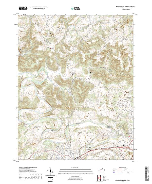
2022 Bowling Green North
Warren County, KY
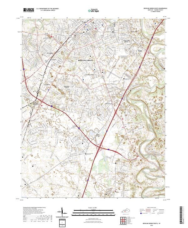
2022 Bowling Green South
Warren County, KY
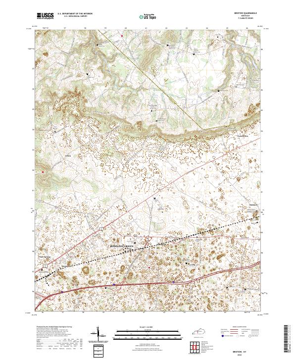
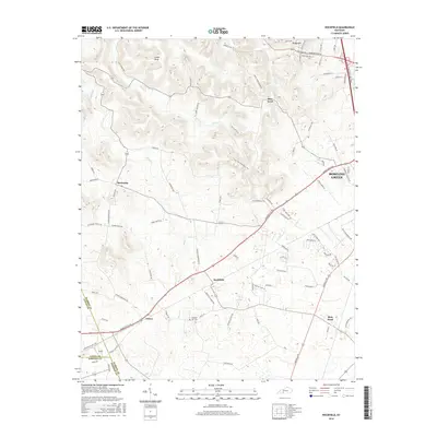
2022 Bristow
Warren County, KY
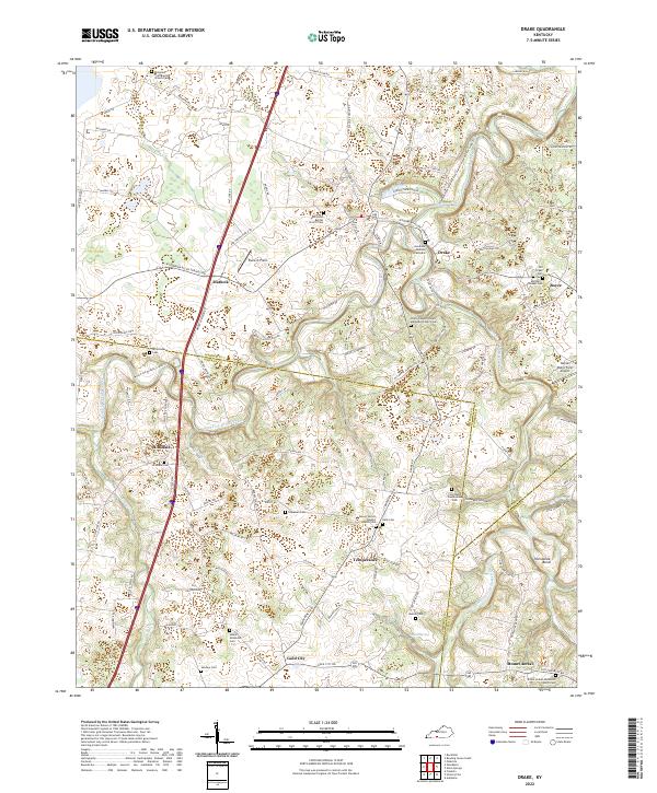
2022 Drake
Warren County, KY
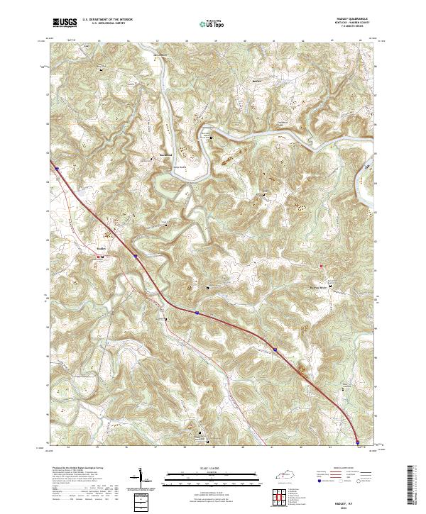
2022 Hadley
Warren County, KY
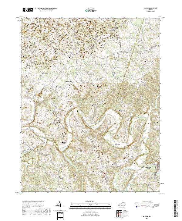
2022 Meador
Warren County, KY
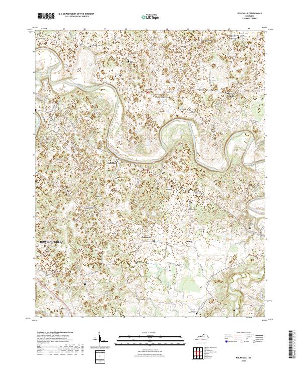
2022 Polkville
Warren County, KY
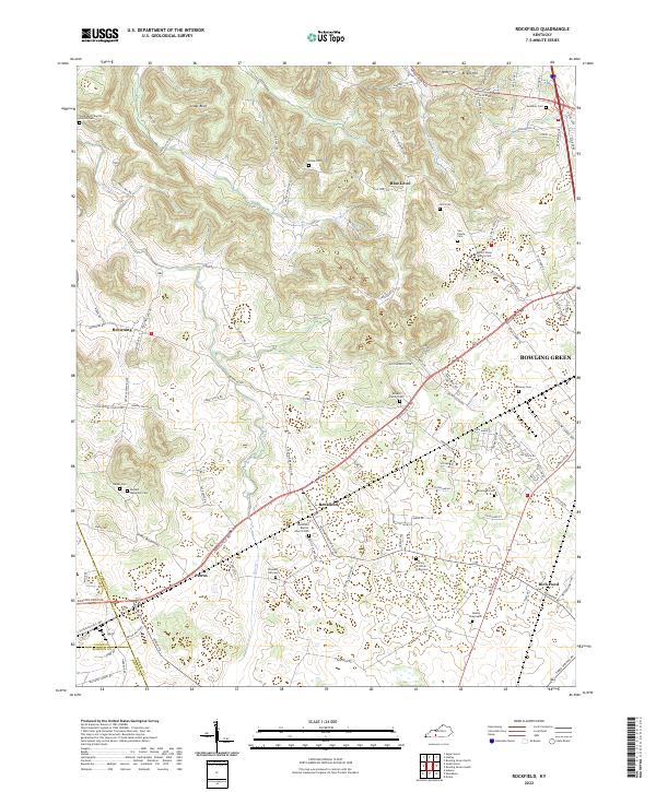
2022 Rockfield
Warren County, KY