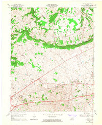
1965 Map of Bristow
USGS Topo · Published 1967About this map
The Knobs form a distinct topographical arc across this landscape, dividing the rolling terrain near Bristow and Oakland from the more intricate drainage of Little Beaverdam Creek. This 1965 revision shows a rural Warren County character defined by a network of small community centers, each anchored by its own local landmark such as Penns Chapel Cem, Jackson Grove Ch, or Cowles Chapel. Settlement patterns here follow the high ground and the corridor of the Louisville and Nashville railroad, which cuts diagonally through the southern half of the quadrangle.
Find a feature on this map
28 named features on this map. Tap any name to fly to it.
Don’t see what you’re looking for? This feature index may not catch every label — zoom into the map to look around manually.
Map Details
Editions of this 1965 Bristow Map
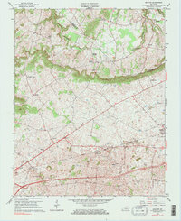
2 editions found
Other maps of this area

1921 · Bowling Green
USGS Topo · 1:62,500

1922 · Brownsville
USGS Topo · 1:62,500

1922 · Mammoth Cave
USGS Topo · 1:62,500

1923 · Bowling Green
USGS Topo · 1:62,500

1923 · Mammoth Cave
USGS Topo · 1:62,500

1923 · Brownsville
USGS Topo · 1:62,500

1926 · Scottsville
USGS Topo · 1:62,500

1954 · Evansville
USGS Topo · 1:250,000

1954 · Bowling Green North
USGS Topo · 1:24,000

1954 · Bristow
USGS Topo · 1:24,000