
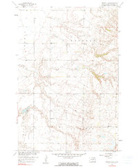
1958 Map of Britton 4 NW
USGS Topo · Published 1959About this map
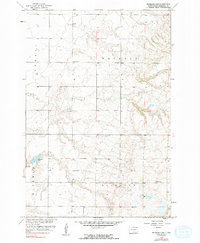
Hickman, Waverly, and Sisseton townships intersect in this 1958 survey of Marshall County, revealing the dispersed rural infrastructure of the Missouri River Basin during the mid-century. The landscape is defined by the prominent Hickman Lake in the southwestern corner and a rolling topography dotted with small-scale industrial and educational markers. Rural education is anchored by School No 1 and two locations labeled School No 2, serving as focal points for the surrounding agricultural community. Evidence of local industry appears at the Gravel Pit near the center of the sheet, while the map's detailed contour lines trace the drainages and elevations that dictate the placement of section roads and farmsteads.
Find a feature on this map
7 named features on this map. Tap any name to fly to it.
Don’t see what you’re looking for? This feature index may not catch every label — zoom into the map to look around manually.
Map Details
Editions of this 1958 Britton 4 NW Map
3 editions found
Other maps of this area

1953 · Britton East
USGS Topo · 1:24,000

1953 · Milbank
USGS Topo · 1:250,000

1954 · Kidder SE
USGS Topo · 1:24,000

1956 · Britton West
USGS Topo · 1:24,000

1958 · Milbank
USGS Topo · 1:250,000

1958 · Spain
USGS Topo · 1:24,000

1958 · Britton 4 SW
USGS Topo · 1:24,000

1958 · Langford
USGS Topo · 1:24,000

1970 · Britton 4 NE
USGS Topo · 1:24,000

1970 · Britton 4 SE
USGS Topo · 1:24,000