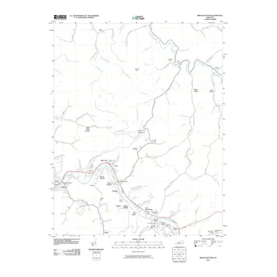
2010 Map of Broad Bottom
USGS Topo · Published 2010About this map
Coal Run Village and Broad Bottom anchor this reach of the Levisa Fork as it winds through eastern Kentucky. The landscape is defined by the tight relationship between the river and the established settlements that follow its path, including Blair Town and Mossy Bottom. Transportation and utility infrastructure are central to the area's development, evidenced by the Pike County Airport-Hatcher Field and a network of crossings like the Boldman Bridge and Mossy Bottom Bridge.
Find a feature on this map
103 named features on this map. Tap any name to fly to it.
Don’t see what you’re looking for? This feature index may not catch every label — zoom into the map to look around manually.
Map Details
Editions of this 2010 Broad Bottom Map
This is the sole edition of this map. No revisions or reprints were ever made.
Other maps of this area

1886 · Prestonsburg
USGS Topo · 1:125,000

1886 · Grundy
USGS Topo · 1:125,000

1887 · Warfield
USGS Topo · 1:125,000

1890 · Whitesburg
USGS Topo · 1:125,000

1890 · Grundy
USGS Topo · 1:125,000

1891 · Warfield
USGS Topo · 1:125,000

1892 · Grundy
USGS Topo · 1:125,000

1892 · Whitesburg
USGS Topo · 1:125,000

1892 · Prestonsburg
USGS Topo · 1:125,000

1914 · Laynesville
USGS Topo · 1:48,000