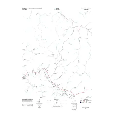
2013 Map of Broad Bottom
USGS Topo · Published 2013About this map
The Levisa Fork corridor serves as the primary artery for settlement and commerce in this section of Pike County. Residential clusters such as Coal Run Village, Blair Town, and Mossy Bottom follow the river's path, reflecting a transition from traditional Appalachian coal mining sites to modern valley developments. The presence of Coal Run Hill and Deskins Hollow points to the region's long-standing connection to local energy extraction. Higher elevation features like Brushy Gap and Lowes Gap define the ridges that hem in the narrow hollows, while family heritage is deeply mapped through sites like Marrs Cem and Blankenship Cem. The infrastructure of the area is anchored by the Pike County Airport-Hatcher Field, positioned on a flattened ridge above the winding river valley. Transport and logistics remain central to the landscape, evidenced by the Boldman Bridge and Cold Run Bridge crossing the fork.
Find a feature on this map
143 named features on this map. Tap any name to fly to it.
Don’t see what you’re looking for? This feature index may not catch every label — zoom into the map to look around manually.
Map Details
Editions of this 2013 Broad Bottom Map
This is the sole edition of this map. No revisions or reprints were ever made.
Other maps of this area

1886 · Prestonsburg
USGS Topo · 1:125,000

1886 · Grundy
USGS Topo · 1:125,000

1887 · Warfield
USGS Topo · 1:125,000

1890 · Whitesburg
USGS Topo · 1:125,000

1890 · Grundy
USGS Topo · 1:125,000

1891 · Warfield
USGS Topo · 1:125,000

1892 · Grundy
USGS Topo · 1:125,000

1892 · Whitesburg
USGS Topo · 1:125,000

1892 · Prestonsburg
USGS Topo · 1:125,000

1914 · Laynesville
USGS Topo · 1:48,000