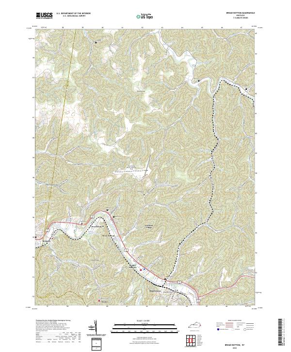
2022 Map of Broad Bottom
USGS Topo · Published 2022About this map
Levisa Fork dictates the settlement patterns of this central Pike County corridor, where modern infrastructure meets the deep hollows of the Appalachian landscape. The river valley serves as the primary artery for both transit and community life, connecting established areas like Broad Bottom and Mossy Bottom with the growing residential and commercial footprint of Coal Run Village. Higher elevations are defined by names that reflect the region's resource and family history, such as Coal Mine Rd and Brushy Gap. Local genealogy is well-preserved through numerous family burial sites, including Mullins Cem, Scalf Cem, and Weddington Cem. The presence of the Pike County Airport/Hatcher Field atop the ridges illustrates how modern engineering has adapted to the steep local topography, while numerous branches and forks like Tollage Creek and Jenny Fork continue to carve the rugged valley floor.
Find a feature on this map
127 named features on this map. Tap any name to fly to it.
Don’t see what you’re looking for? This feature index may not catch every label — zoom into the map to look around manually.
Map Details
Editions of this 2022 Broad Bottom Map
This is the sole edition of this map. No revisions or reprints were ever made.
Other maps of this area

1886 · Prestonsburg
USGS Topo · 1:125,000

1886 · Grundy
USGS Topo · 1:125,000

1887 · Warfield
USGS Topo · 1:125,000

1890 · Whitesburg
USGS Topo · 1:125,000

1890 · Grundy
USGS Topo · 1:125,000

1891 · Warfield
USGS Topo · 1:125,000

1892 · Grundy
USGS Topo · 1:125,000

1892 · Whitesburg
USGS Topo · 1:125,000

1892 · Prestonsburg
USGS Topo · 1:125,000

1914 · Laynesville
USGS Topo · 1:48,000