
2022 Map of Broad Bottom
USGS Topo · Published 2022This historical map portrays the area of Broad Bottom in 2022, primarily covering Pike County as well as portions of Floyd County. Featuring a scale of 1:24000, this map provides a highly detailed snapshot of the terrain, roads, buildings, counties, and historical landmarks in the Broad Bottom region at the time. Published in 2022, it is the sole known edition of this map.
Map Details
Editions of this 2022 Broad Bottom Map
This is the sole edition of this map. No revisions or reprints were ever made.
Historical Maps of Stanley Addition Through Time
32 maps found

1914 Vergie
Pike County, KY

1915 Regina
Pike County, KY

1917 Regina
Pike County, KY

1954 Broad Bottom
Pike County, KY

1954 Dorton
Pike County, KY

1954 Hellier
Pike County, KY

1954 Jamboree
Pike County, KY

1954 Lick Creek
Pike County, KY

1954 Meta
Pike County, KY

1954 Millard
Pike County, KY

1954 Varney
Pike County, KY

1963 Jamboree
Pike County, KY

1978 Lick Creek
Pike County, KY

1978 Meta
Pike County, KY

1978 Millard
Pike County, KY

1979 Broad Bottom
Pike County, KY

1992 Broad Bottom
Pike County, KY

1992 Dorton
Pike County, KY

1992 Jenkins East
Pike County, KY

1992 Meta
Pike County, KY

1992 Varney
Pike County, KY

2001 Majestic
Pike County, KY
2022 Broad Bottom
Pike County, KY
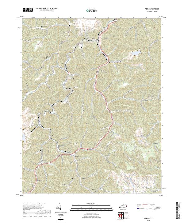
2022 Dorton
Pike County, KY
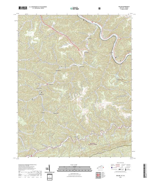
2022 Hellier
Pike County, KY

2022 Jamboree
Pike County, KY
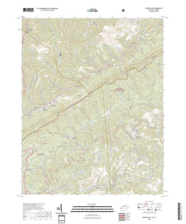
2022 Jenkins East
Pike County, KY

2022 Lick Creek
Pike County, KY

2022 Majestic
Pike County, KY

2022 Meta
Pike County, KY

2022 Millard
Pike County, KY

2022 Varney
Pike County, KY