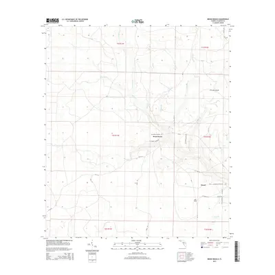
2015 Map of Broad Branch
USGS Topo · Published 2015About this map
Broad Branch sits within a low-lying landscape defined by a intricate network of drainage and creek systems in Calhoun County. The settlement at Kinard serves as a focal point in the southeastern portion of the map, situated near several local landmarks including Mill Point and the notably named Watering Pond. The terrain is characterized by numerous small branches and creeks, such as Little Cypress Cr, Buddy Br, and Polliwog Br, which drain toward larger water bodies.
Find a feature on this map
40 named features on this map. Tap any name to fly to it.
Don’t see what you’re looking for? This feature index may not catch every label — zoom into the map to look around manually.
Map Details
Editions of this 2015 Broad Branch Map
This is the sole edition of this map. No revisions or reprints were ever made.
Other maps of this area

1944 · Clarksville
USGS Topo · 1:31,680

1945 · Dead Lake
USGS Topo · 1:31,680

1945 · Juniper Creek
USGS Topo · 1:31,680

1945 · Youngstown
USGS Topo · 1:31,680

1945 · Clarksville
USGS Topo · 1:31,680

1945 · Broad Branch
USGS Topo · 1:31,680

1945 · North Of Allanton
USGS Topo · 1:31,680

1945 · Frink
USGS Topo · 1:31,680

1945 · Fountain
USGS Topo · 1:31,680

1945 · Tenmile Swamp
USGS Topo · 1:31,680