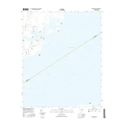
2016 Map of Broad Creek
USGS Topo · Published 2016About this map
The coastal waters of the Neuse River and Pamlico Sound dominate this 2016 survey, where the county line between Pamlico and Carteret bisects the open water. This maritime landscape is defined by its intricate shoreline, where Broad Creek feeds into the sound between Skate Point and Cedar Point. Landward, residential developments are visible along the western shore, served by local routes like Whortonsville Rd and Old Lighthouse Rd.
Find a feature on this map
28 named features on this map. Tap any name to fly to it.
Don’t see what you’re looking for? This feature index may not catch every label — zoom into the map to look around manually.
Map Details
Editions of this 2016 Broad Creek Map
This is the sole edition of this map. No revisions or reprints were ever made.
Other maps of this area

1948 · Oriental
USGS Topo · 1:24,000

1949 · Point Of Marsh
USGS Topo · 1:24,000

1949 · Long Bay
USGS Topo · 1:24,000

1949 · Merrimon
USGS Topo · 1:24,000

1949 · South River
USGS Topo · 1:24,000

1950 · Long Bay
USGS Topo · 1:24,000

1950 · South River
USGS Topo · 1:24,000

1950 · Point Of Marsh
USGS Topo · 1:24,000

1950 · Vandemere
USGS Topo · 1:24,000

1950 · Jones Bay
USGS Topo · 1:24,000