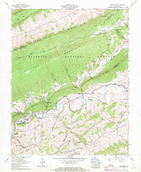
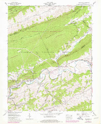
1958 Map of Broadford
USGS Topo · Published 1969About this map
The North Fork Holston River carves a deep path through the Ridge-and-Valley Appalachians in this late 1950s survey of the border between Smyth and Tazewell Counties. The map documents the industrial and educational hubs of the valley, featuring the northern edges of Saltville and the distinct settlements of Broadford and North Holston. Near the river, technical markers like a gaging station and an aerial tramway appear alongside community anchors such as Rich Valley High Sch.
Find a feature on this map
78 named features on this map. Tap any name to fly to it.
Don’t see what you’re looking for? This feature index may not catch every label — zoom into the map to look around manually.
Map Details
Editions of this 1958 Broadford Map
5 editions found
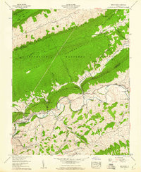
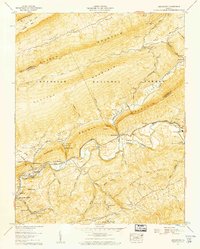
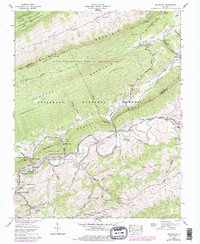
Other maps of this area

1891 · Tazewell
USGS Topo · 1:125,000

1891 · Abingdon
USGS Topo · 1:125,000

1894 · Abingdon
USGS Topo · 1:125,000

1895 · Tazewell
USGS Topo · 1:125,000

1897 · Tazewell
USGS Topo · 1:125,000

1909 · Abingdon
USGS Topo · 1:96,000

1911 · Abingdon
USGS Topo · 1:125,000

1912 · Pounding Mill
USGS Topo · 1:62,500

1915 · Richlands
USGS Topo · 1:48,000

1916 · Pounding Mill
USGS Topo · 1:62,500