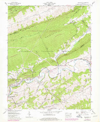
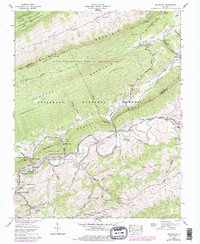
1958 Map of Broadford
USGS Topo · Published 1978About this map
North Fork Holston River carves through the Appalachian landscape, anchoring a valley of industrial sites and small communities along the Tazewell and Smyth county line. The legacy of the region's chemical and mining industry is evident at the Mathieson Chemical Corp site near Saltville and the Worthy Mine to the south. Transportation history is deeply etched into the terrain, where the Norfolk and Western RR sits abandoned along the riverbanks, bypassed as local travel shifted to the Blue Grass Trail.
Find a feature on this map
77 named features on this map. Tap any name to fly to it.
Don’t see what you’re looking for? This feature index may not catch every label — zoom into the map to look around manually.
Map Details
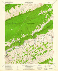
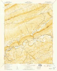
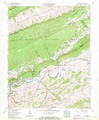
Editions of this 1958 Broadford Map
5 editions found
Other maps of this area

1891 · Tazewell
USGS Topo · 1:125,000

1891 · Abingdon
USGS Topo · 1:125,000

1894 · Abingdon
USGS Topo · 1:125,000

1895 · Tazewell
USGS Topo · 1:125,000

1897 · Tazewell
USGS Topo · 1:125,000

1909 · Abingdon
USGS Topo · 1:96,000

1911 · Abingdon
USGS Topo · 1:125,000

1912 · Pounding Mill
USGS Topo · 1:62,500

1915 · Richlands
USGS Topo · 1:48,000

1916 · Pounding Mill
USGS Topo · 1:62,500