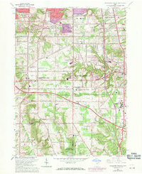
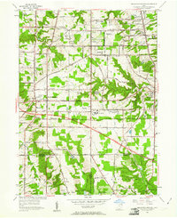
1963 Map of Broadview Heights
USGS Topo · Published 1971About this map
Broadview Heights and the surrounding Cuyahoga County suburbs underwent significant expansion during the mid-twentieth century, as captured in this detailed 1963 survey. The landscape is defined by the Ohio Turnpike cutting across the terrain, bridging the gap between established residential pockets and institutional landmarks. Large-scale public and religious facilities anchor the region, including the sprawling Veterans Administration Hospital and the Mount Augustine Novitiate. The era's technological footprint is visible through numerous broadcast facilities such as the Radio Tower (WJW-TV) and Radio Towers (WGAR). Local education and community life are well-represented by the Wallings Sch and St Basils Ch, while the natural topography persists at the Brecksville Reservation and along the winding Chippewa Creek. This document serves as a record of the area's transition into a modern suburban hub just before the 1970 revisions were implemented.
Find a feature on this map
48 named features on this map. Tap any name to fly to it.
Don’t see what you’re looking for? This feature index may not catch every label — zoom into the map to look around manually.
Map Details
Editions of this 1963 Broadview Heights Map
5 editions found
Historical Maps of Parma Through Time
8 maps found
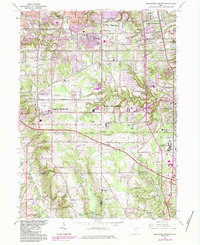
1953 Broadview Heights
Cuyahoga County, OH
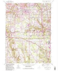
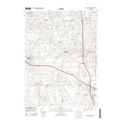
1963 Broadview Heights
Cuyahoga County, OH
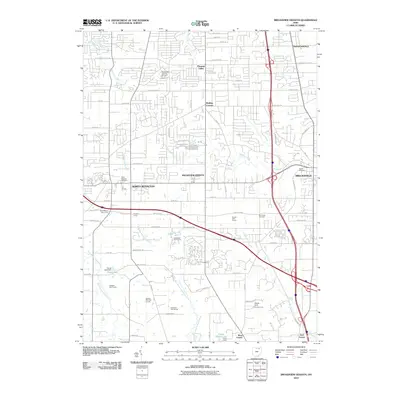
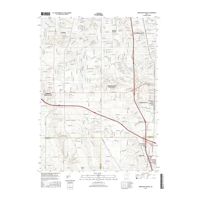
1994 Broadview Heights
Cuyahoga County, OH
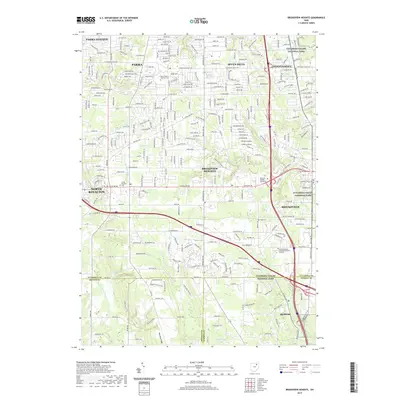
2010 Broadview Heights
Cuyahoga County, OH
2013 Broadview Heights
Cuyahoga County, OH
2016 Broadview Heights
Cuyahoga County, OH
2019 Broadview Heights
Cuyahoga County, OH
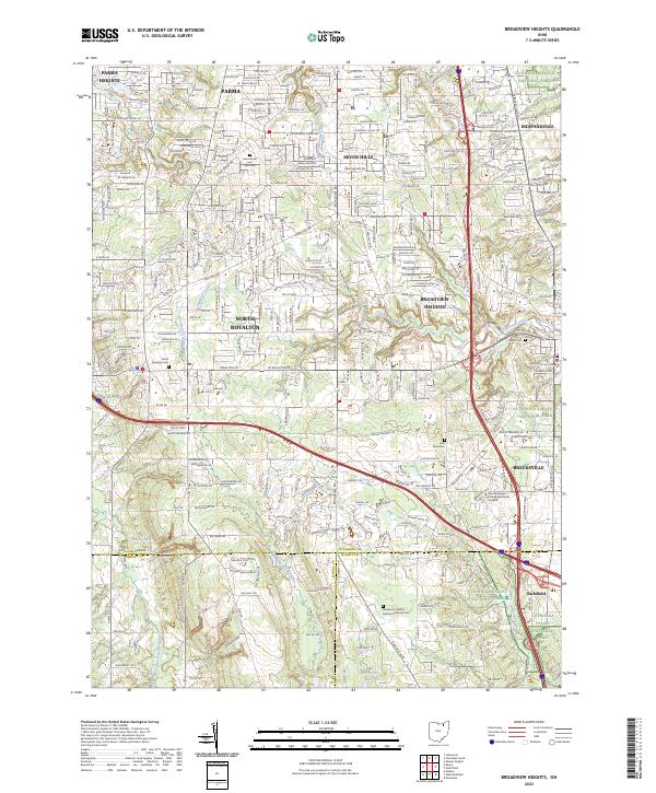
2023 Broadview Heights
Cuyahoga County, OH