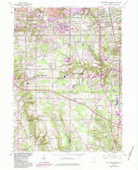
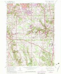
1963 Map of Broadview Heights
USGS Topo · Published 1984About this map
Broadview Heights and the southern suburbs of Cleveland are depicted here during a period of significant suburban expansion, with later revisions highlighting the rapid growth of residential tracts and infrastructure. The landscape is defined by the steep, wooded ravines of Chippewa Creek and the East Branch Rocky River, which contrast with the developing residential neighborhoods of Parma and Seven Hills. The map serves as a vital record for genealogists and local historians, capturing the mid-century placement of local institutions like St Albert the Great Sch and Hillside Jr High Sch.
Find a feature on this map
46 named features on this map. Tap any name to fly to it.
Don’t see what you’re looking for? This feature index may not catch every label — zoom into the map to look around manually.
Map Details
Editions of this 1963 Broadview Heights Map
5 editions found
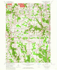
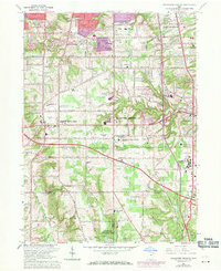
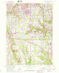
Other maps of this area

1902 · Berea
USGS Topo · 1:62,500

1903 · Cleveland
USGS Topo · 1:62,500

1903 · Akron
USGS Topo · 1:62,500

1904 · Berea
USGS Topo · 1:62,500

1904 · Medina
USGS Topo · 1:62,500

1905 · Akron
USGS Topo · 1:62,500

1906 · Medina
USGS Topo · 1:62,500

1950 · Cleveland
USGS Topo · 1:250,000

1953 · Shaker Heights
USGS Topo · 1:24,000

1953 · Broadview Heights
USGS Topo · 1:24,000