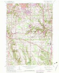
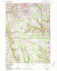
1963 Map of Broadview Heights
USGS Topo · Published 1979About this map
Broadview Heights and the surrounding communities of North Royalton and Brecksville are shown during a period of suburban expansion and institutional development. The landscape is defined by the ridge-top settlements and the deeply carved valleys of the Rocky River and Healey Creek. Notable institutional footprints include the expansive Veterans Administration Hospital and the Mount Augustine Novitiate.
Find a feature on this map
32 named features on this map. Tap any name to fly to it.
Don’t see what you’re looking for? This feature index may not catch every label — zoom into the map to look around manually.
Map Details
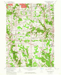
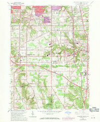
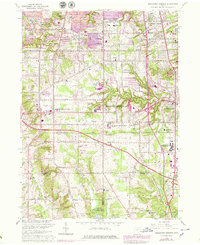
Editions of this 1963 Broadview Heights Map
5 editions found
Other maps of this area

1902 · Berea
USGS Topo · 1:62,500

1903 · Cleveland
USGS Topo · 1:62,500

1903 · Akron
USGS Topo · 1:62,500

1904 · Berea
USGS Topo · 1:62,500

1904 · Medina
USGS Topo · 1:62,500

1905 · Akron
USGS Topo · 1:62,500

1906 · Medina
USGS Topo · 1:62,500

1950 · Cleveland
USGS Topo · 1:250,000

1953 · Shaker Heights
USGS Topo · 1:24,000

1953 · Broadview Heights
USGS Topo · 1:24,000