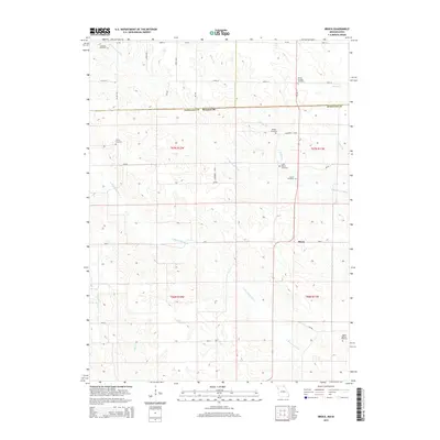
2015 Map of Brock
USGS Topo · Published 2015About this map
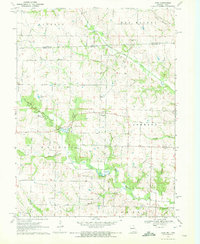
Brock sits as the central point in this rural Missouri landscape, where the agricultural grid of Scotland County is defined by its numerous small-scale family and community burial grounds. The geography is dominated by the winding paths of the N Wyaconda River and the S Wyaconda River, which carve through the terrain and create a network of drainage branches including Billups Br and Pony Cr. This 2015 survey reveals a land still deeply rooted in its 19th-century settlement patterns, evidenced by the high density of cemeteries such as Hubbard Cemetery, Trinity Cemetery, and Brown Cottage Cemetery. These landmarks, often situated on high ground near watercourses, serve as primary genealogical anchors for the region. The map also traces the small I B Lake and several regional routes like Mo-C and Mo-H that connect these dispersed rural homesteads.
Find a feature on this map
39 named features on this map. Tap any name to fly to it.
Don’t see what you’re looking for? This feature index may not catch every label — zoom into the map to look around manually.
Map Details
Editions of this 2015 Brock Map
This is the sole edition of this map. No revisions or reprints were ever made.
Other maps of this area

1903 · Edina
USGS Topo · 1:125,000

1954 · Centerville
USGS Topo · 1:250,000

1957 · Centerville
USGS Topo · 1:250,000

1958 · Centerville
USGS Topo · 1:250,000

1965 · Memphis
USGS Topo · 1:24,000
1965 · Arbela
USGS Topo · 1:24,000

1966 · Downing
USGS Topo · 1:24,000
1970 · Cantril
USGS Topo · 1:24,000
1970 · Brock
USGS Topo · 1:24,000
1970 · Azen
USGS Topo · 1:24,000