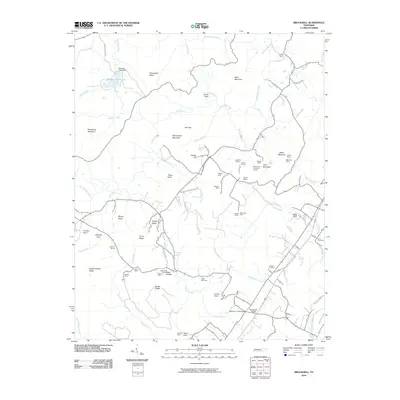
2010 Map of Brockdell
USGS Topo · Published 2010About this map
Sequatchie College stands near the intersection of the Sequatchie River and Maise Creek, highlighting a landscape defined by industrial extraction and educational foundations. The terrain is a complex network of ridges and mountains, including Sheepnose Mountain, Blair Mountain, and Basin Mountain, which hem in a high concentration of coal and mineral operations. This industrial footprint is visible through numerous named sites such as the Keener Mines, Staggs Mine, and Merriman Mine scattered across the uplands. Settlement patterns are sparse, anchored by Robinson Cross Roads and family-named cemeteries like Cagle Cemetery and Dodson Cemetery. Water management is prominent in the northwest, where the Meadow Creek Dam creates Meadow Creek Lake. This survey provides a precise look at the topographic character of the region just as digital mapping standards were becoming formalized.
Find a feature on this map
71 named features on this map. Tap any name to fly to it.
Don’t see what you’re looking for? This feature index may not catch every label — zoom into the map to look around manually.
Map Details
Editions of this 2010 Brockdell Map
This is the sole edition of this map. No revisions or reprints were ever made.
Other maps of this area

1888 · Chattanooga
USGS Topo · 1:125,000

1892 · Pikeville
USGS Topo · 1:125,000

1893 · Chattanooga
USGS Topo · 1:125,000

1895 · Pikeville
USGS Topo · 1:125,000

1909 · Sequatchie Valley
USGS Topo · 1:62,500

1910 · Pikeville
USGS Topo · 1:62,500

1935 · Brockdell
USGS Topo · 1:24,000

1935 · Billingsley Gap
USGS Topo · 1:24,000

1935 · Brayton
USGS Topo · 1:24,000

1935 · Mount Airy
USGS Topo · 1:24,000