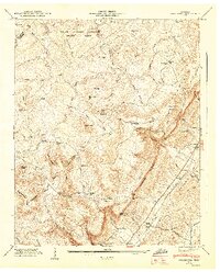
1947 Map of Brockdell
USGS Topo · Published 1947About this map
The Cumberland Escarpment dominates this 1947 landscape, creating a sharp divide between the high plateau of Falls Creek Falls State Park and the low-lying Sequatchie Valley. This transition is marked by deep gorges known as gulfs, including Penitentiary Gulf and Rocky Gulf, which carve through the Tennessee Valley Divide. In the valley floor, the Nashville Chattanooga and St Louis railroad parallels the Sequatchie River, serving rural hubs like Lees Station and College Station.
Find a feature on this map
92 named features on this map. Tap any name to fly to it.
Don’t see what you’re looking for? This feature index may not catch every label — zoom into the map to look around manually.
Map Details
Editions of this 1947 Brockdell Map
2 editions found
Other maps of this area

1888 · Chattanooga
USGS Topo · 1:125,000

1892 · Pikeville
USGS Topo · 1:125,000

1893 · Chattanooga
USGS Topo · 1:125,000

1895 · Pikeville
USGS Topo · 1:125,000
1909 · Sequatchie Valley
USGS Topo · 1:62,500
1910 · Pikeville
USGS Topo · 1:62,500
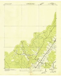
1935 · Brockdell
USGS Topo · 1:24,000
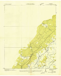
1935 · Billingsley Gap
USGS Topo · 1:24,000
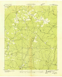
1935 · Brayton
USGS Topo · 1:24,000
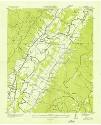
1935 · Mount Airy
USGS Topo · 1:24,000