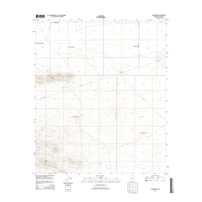
2013 Map of Brockman
USGS Topo · Published 2013About this map
Brockman Hills and the Coyote Hills rise from the desert floor in this 2013 survey of southwestern Grant County. The landscape is defined by the practicalities of ranching and infrastructure in an arid environment, where water management is centralized at sites like Brockman Tank, Coyote Tank, and Vista Tank. These vital points of catchment support the grazing lands that have long characterized the region's economy. Transportation is largely limited to industrial and agricultural corridors, including Pipeline Rd and the access routes to local holdings, notably Warren Ranch Rd and Hughes Ranch Rd. The drainage of Black Mountain Draw cuts through the northern sections, illustrating the natural runoff patterns that dictate the placement of local infrastructure and the naming of the surrounding high ground.
Find a feature on this map
14 named features on this map. Tap any name to fly to it.
Don’t see what you’re looking for? This feature index may not catch every label — zoom into the map to look around manually.
Map Details
Editions of this 2013 Brockman Map
This is the sole edition of this map. No revisions or reprints were ever made.
Other maps of this area

1918 · Hachita
USGS Topo · 1:62,500

1918 · Playas
USGS Topo · 1:62,500

1919 · Playas
USGS Topo · 1:62,500

1954 · Silver City
USGS Topo · 1:250,000

1955 · Douglas
USGS Topo · 1:250,000

1958 · Silver City
USGS Topo · 1:250,000

1959 · Douglas
USGS Topo · 1:250,000

1961 · Douglas
USGS Topo · 1:250,000

1962 · Silver City
USGS Topo · 1:250,000

1964 · Douglas
USGS Topo · 1:250,000