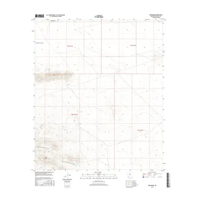
2017 Map of Brockman
USGS Topo · Published 2017About this map
The Brockman settlement serves as the central anchor for this southwestern New Mexico landscape, dominated by desert elevations and essential water catchment features. The terrain is defined by the prominent Brockman Hills and Coyote Hills, while the drainage of Black Mountain Draw cuts through the northern sections. This 2017 survey highlights the region's importance for long-distance recreation, as the Continental Divide National Scenic Trail winds through the southwestern corner, crossing the high ground between local water sources like Vista Tank and Coyote Tank. These man-made tanks, including Brockman Tank, illustrate the critical infrastructure required for ranching and land management in this arid environment, providing clear landmarks for those tracing modern trail routes or land ownership boundaries across the Grant County desert.
Find a feature on this map
12 named features on this map. Tap any name to fly to it.
Don’t see what you’re looking for? This feature index may not catch every label — zoom into the map to look around manually.
Map Details
Editions of this 2017 Brockman Map
This is the sole edition of this map. No revisions or reprints were ever made.
Other maps of this area

1918 · Hachita
USGS Topo · 1:62,500

1918 · Playas
USGS Topo · 1:62,500

1919 · Playas
USGS Topo · 1:62,500

1954 · Silver City
USGS Topo · 1:250,000

1955 · Douglas
USGS Topo · 1:250,000

1958 · Silver City
USGS Topo · 1:250,000

1959 · Douglas
USGS Topo · 1:250,000

1961 · Douglas
USGS Topo · 1:250,000

1962 · Silver City
USGS Topo · 1:250,000

1964 · Douglas
USGS Topo · 1:250,000