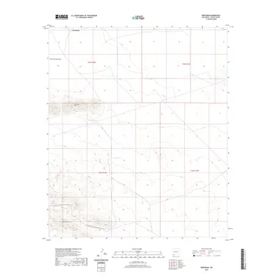
2020 Map of Brockman
USGS Topo · Published 2020About this map
The high desert terrain of Grant County is defined by the Brockman Hills and Coyote Hills, where seasonal water management is critical for ranching and land use. The small settlement of Brockman sits near the northern edge of the sheet, surrounded by an expansive system of draws and tanks. Features such as Brockman Tank, Coyote Tank, and Vista Tank reveal how the landscape has been adapted for water storage in this arid environment.
Find a feature on this map
12 named features on this map. Tap any name to fly to it.
Don’t see what you’re looking for? This feature index may not catch every label — zoom into the map to look around manually.
Map Details
Editions of this 2020 Brockman Map
This is the sole edition of this map. No revisions or reprints were ever made.
Other maps of this area
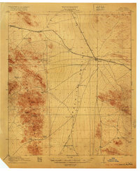
1918 · Hachita
USGS Topo · 1:62,500
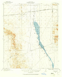
1918 · Playas
USGS Topo · 1:62,500
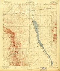
1919 · Playas
USGS Topo · 1:62,500
1954 · Silver City
USGS Topo · 1:250,000
1955 · Douglas
USGS Topo · 1:250,000
1958 · Silver City
USGS Topo · 1:250,000
1959 · Douglas
USGS Topo · 1:250,000
1961 · Douglas
USGS Topo · 1:250,000
1962 · Silver City
USGS Topo · 1:250,000
1964 · Douglas
USGS Topo · 1:250,000