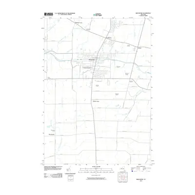
2010 Map of Brockport
USGS Topo · Published 2010About this map
The Erie Canal serves as the central artery for this region, cutting through Brockport and shaping the local landscape. This map captures the integration of academic life and regional infrastructure, prominently featuring the State University of New York College at Brockport campus. Small crossroads communities such as Clarkson, Garland, and Sweden Center anchor the surrounding agricultural and residential lands.
Find a feature on this map
65 named features on this map. Tap any name to fly to it.
Don’t see what you’re looking for? This feature index may not catch every label — zoom into the map to look around manually.
Map Details
Editions of this 2010 Brockport Map
This is the sole edition of this map. No revisions or reprints were ever made.
Other maps of this area

1897 · Albion
USGS Topo · 1:62,500

1897 · Oak Orchard
USGS Topo · 1:62,500

1899 · Hamlin
USGS Topo · 1:62,500

1899 · Brockport
USGS Topo · 1:62,500

1932 · Hamlin
USGS Topo · 1:24,000

1932 · Spencerport
USGS Topo · 1:24,000

1934 · Spencerport
USGS Topo · 1:24,000

1934 · Brockport
USGS Topo · 1:24,000
1934 · Hilton
USGS Topo · 1:24,000

1934 · Clifton
USGS Topo · 1:24,000