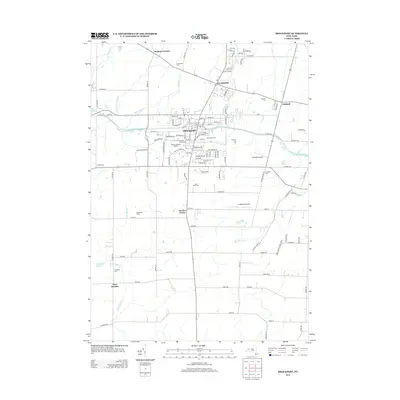
2013 Map of Brockport
USGS Topo · Published 2013About this map
The Erie Canal remains a defining geographic feature of this Monroe County landscape, crossing near Brockport at Erie Canal Bridge 8. The village serves as a significant educational hub, dominated by the campus of Suny Coll At Brockport and its Special Olympics Stadium. This 2013 survey illustrates the transition from the dense residential and institutional blocks of the village to the surrounding agricultural and rural hamlets of Sweden Center, Clarkson, and West Sweden. Notable for genealogists are the numerous burial grounds scattered across the terrain, including Lake View Cem, High Street Cem, and W Sweden Cem. Transportation beyond the canal and road networks is represented by local aviation facilities such as McKinney Airport and Ledgedale Airpark, while waterways like Salmon Cr and N Br Black Cr drain the fertile lands surrounding McCracken Farms.
Find a feature on this map
122 named features on this map. Tap any name to fly to it.
Don’t see what you’re looking for? This feature index may not catch every label — zoom into the map to look around manually.
Map Details
Editions of this 2013 Brockport Map
This is the sole edition of this map. No revisions or reprints were ever made.
Other maps of this area

1897 · Albion
USGS Topo · 1:62,500

1897 · Oak Orchard
USGS Topo · 1:62,500

1899 · Hamlin
USGS Topo · 1:62,500

1899 · Brockport
USGS Topo · 1:62,500

1932 · Hamlin
USGS Topo · 1:24,000

1932 · Spencerport
USGS Topo · 1:24,000

1934 · Spencerport
USGS Topo · 1:24,000

1934 · Brockport
USGS Topo · 1:24,000
1934 · Hilton
USGS Topo · 1:24,000

1934 · Clifton
USGS Topo · 1:24,000