
Loading...
Loading map...1971 Map of Brockport
USGS Topo · Published 1978About this map
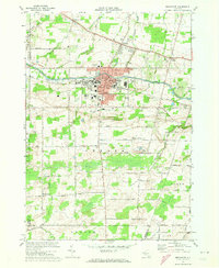
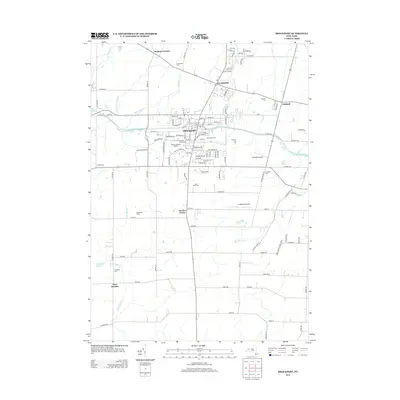
Brockport stands as the primary hub of this landscape, anchored by the extensive campus of the State University of New York at Brockport and the historic path of the Erie Canal. The 1971 data illustrates a bustling college town atmosphere, featuring civic landmarks like City Hall and Lakeside Mem Hospital. Surrounding the village, the townships of Sweden and Clarkson transition into a landscape of family-named road networks and agricultural tracts, punctuated by rural settlements such as Sweden Center and Garland.
Find a feature on this map
64 named features on this map. Tap any name to fly to it.
Don’t see what you’re looking for? This feature index may not catch every label — zoom into the map to look around manually.
Map Details
Date Portrayed1971
Date Published1978
PublisherU.S. Geological Survey
Map TypeTopographic
Scale1:24,000
Physical Dimensions22.1 x 27 inches
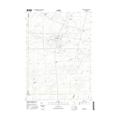
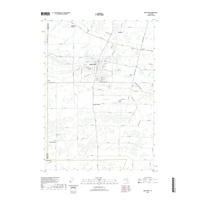
Editions of this 1971 Brockport Map
2 editions found
Historical Maps of Ogden Through Time
8 maps found

Featured Locations
Source Details
SourceU.S. Geological Survey
CopyrightPublic Domain