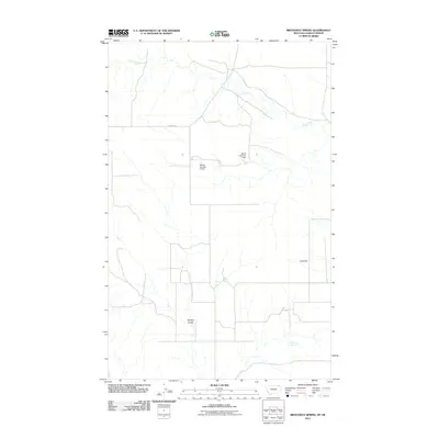
2011 Map of Brockway Spring
USGS Topo · Published 2011About this map
Brockway Spring serves as a primary water source in this corner of Valley County, Montana, anchoring a landscape shaped by intermittent drainage and agricultural water management. The terrain is characterized by the winding path of Coal Creek in the north and the prominent Morgan Coulee to the south. This 2011 survey reveals the human imprint on the land through several specialized water control structures, including the Stub Dam and the numbered reservoirs of Bjarne Number 1 Dam and Bjarne Number 2 Dam. Transport in this rural expanse is defined by a sparse network of local tracks and the well-defined N Bench Rd, reflecting the low-density settlement patterns typical of the high plains just south of the Canadian border.
Find a feature on this map
7 named features on this map. Tap any name to fly to it.
Don’t see what you’re looking for? This feature index may not catch every label — zoom into the map to look around manually.
Map Details
Editions of this 2011 Brockway Spring Map
This is the sole edition of this map. No revisions or reprints were ever made.
Other maps of this area

1954 · Wolf Point
USGS Topo · 1:250,000

1954 · Glasgow
USGS Topo · 1:250,000

1957 · Glasgow
USGS Topo · 1:250,000

1958 · Wolf Point
USGS Topo · 1:250,000

1958 · Glasgow
USGS Topo · 1:250,000

1973 · Horseshoe Basin
USGS Topo · 1:24,000

1973 · Brockway Spring
USGS Topo · 1:24,000

1973 · Flaherty Coulee
USGS Topo · 1:24,000

1973 · Richland
USGS Topo · 1:24,000

1973 · Kaminski Hill
USGS Topo · 1:24,000