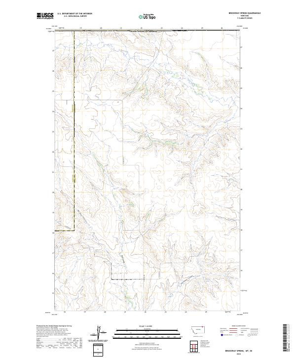
2024 Map of Brockway Spring
USGS Topo · Published 2024About this map
The boundary between Valley Co Daniels Co runs north-to-south through this drainage-cut landscape, marking a remote section of the Montana high plains. The topography is defined by a series of prominent coulees that channel seasonal runoff toward the south and east. Among these, Morgan Coulee, Flaherty Coulee, and Swift Coulee reveal the intricate erosion patterns characteristic of the region. The namesake Brockway Spring is located in the southeastern quadrant near the head of Brockway Coulee, representing a vital water source in an otherwise arid environment. Settlement is sparse, represented primarily by a network of rural routes such as N Bench Rd, Solberg Rd, and Thievin Rd, which connect the scattered agricultural sections and range lands that have sustained local ranching for generations.
Find a feature on this map
19 named features on this map. Tap any name to fly to it.
Don’t see what you’re looking for? This feature index may not catch every label — zoom into the map to look around manually.
Map Details
Editions of this 2024 Brockway Spring Map
This is the sole edition of this map. No revisions or reprints were ever made.
Other maps of this area

1954 · Wolf Point
USGS Topo · 1:250,000

1954 · Glasgow
USGS Topo · 1:250,000

1957 · Glasgow
USGS Topo · 1:250,000

1958 · Wolf Point
USGS Topo · 1:250,000

1958 · Glasgow
USGS Topo · 1:250,000

1973 · Horseshoe Basin
USGS Topo · 1:24,000

1973 · Brockway Spring
USGS Topo · 1:24,000

1973 · Flaherty Coulee
USGS Topo · 1:24,000

1973 · Richland
USGS Topo · 1:24,000

1973 · Kaminski Hill
USGS Topo · 1:24,000