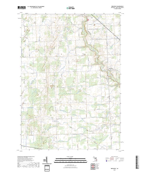
2023 Map of Brockway
USGS Topo · Published 2023About this map
Yale and Brockway anchor this agricultural landscape in St. Clair County, showing the intricate water management system of the Thumb region. The terrain is defined by an extensive network of named agricultural waterways, including Livergood Drain, Thompson Drain, and Thody Drain, which channel water toward the Pine River and its southern tributaries. These man-made and improved natural channels illustrate the region's long-standing commitment to maintaining productive farmland. Small-town infrastructure is represented by the Yale Airport and the centrally located Moore Cem, while the road grid follows the early township and range sections. The map preserves the specific locations of legacy family-named routes such as Carson Rd, S Brockway Rd, and Sayles Rd, which connect these rural communities and historical farmsteads.
Find a feature on this map
51 named features on this map. Tap any name to fly to it.
Don’t see what you’re looking for? This feature index may not catch every label — zoom into the map to look around manually.
Map Details
Editions of this 2023 Brockway Map
This is the sole edition of this map. No revisions or reprints were ever made.
Other maps of this area

1914 · Armada
USGS Topo · 1:62,500

1928 · Armada
USGS Topo · 1:62,500

1928 · Hicky
USGS Topo · 1:62,500

1939 · Goodells
USGS Topo · 1:24,000

1944 · Memphis
USGS Topo · 1:24,000

1945 · Allenton
USGS Topo · 1:24,000

1952 · Allenton
USGS Topo · 1:24,000

1952 · Memphis
USGS Topo · 1:24,000
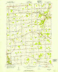
1952 · Goodells
USGS Topo · 1:24,000

1954 · Detroit
USGS Topo · 1:250,000