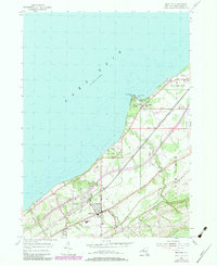
1954 Map of Brocton
USGS Topo · Published 1979About this map
Brocton and the surrounding township of Portland characterize this mid-century coastal landscape along Lake Erie. The map reveals a highly developed corridor between the shoreline and the upland slopes, defined by the Conrail and Norfolk Western rail lines and a dense network of local roads like Chautauqua Road. Residential and recreational growth is evident at Van Buren Point and Van Buren Bay, where a Drive-in Theater and Landing Strip once served the community.
Find a feature on this map
42 named features on this map. Tap any name to fly to it.
Don’t see what you’re looking for? This feature index may not catch every label — zoom into the map to look around manually.
Map Details
Editions of this 1954 Brocton Map
2 editions found
Other maps of this area

1899 · Westfield
USGS Topo · 1:62,500

1900 · Dunkirk
USGS Topo · 1:62,500

1943 · Dunkirk
USGS Topo · 1:62,500
1954 · Dunkirk
USGS Topo · 1:24,000
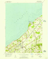
1954 · Brocton
USGS Topo · 1:24,000
1954 · Hartfield
USGS Topo · 1:24,000
1954 · Cassadaga
USGS Topo · 1:24,000
1954 · Westfield
USGS Topo · 1:24,000
1955 · North Of Dunkirk
USGS Topo · 1:24,000

1960 · Buffalo
USGS Topo · 1:250,000