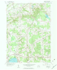
1954 Map of Hartfield
USGS Topo · Published 1956About this map
Hartfield sits at the northern tip of Chautauqua Lake, serving as a vital intersection for the local transportation network of the mid-1950s. The landscape is defined by the transition from the rolling orchard and vineyard country of Portland down toward the marshy expanse of the Big Inlet. This survey records a snapshot of rural life before major highway developments, where community centers are anchored by landmarks like Elm Flats Ch and the Howard Hill Ch.
Find a feature on this map
47 named features on this map. Tap any name to fly to it.
Don’t see what you’re looking for? This feature index may not catch every label — zoom into the map to look around manually.
Map Details
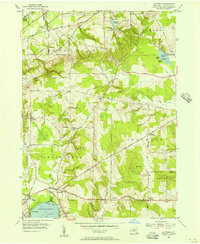
Editions of this 1954 Hartfield Map
2 editions found
Other maps of this area

1899 · Westfield
USGS Topo · 1:62,500

1900 · Dunkirk
USGS Topo · 1:62,500

1904 · Chautaqua
USGS Topo · 1:62,500

1905 · Clymer
USGS Topo · 1:62,500

1939 · Clymer
USGS Topo · 1:62,500

1941 · Chautauqua
USGS Topo · 1:62,500

1941 · Clymer
USGS Topo · 1:62,500

1943 · Dunkirk
USGS Topo · 1:62,500

1954 · Chautauqua
USGS Topo · 1:24,000

1954 · Ellery Center
USGS Topo · 1:24,000