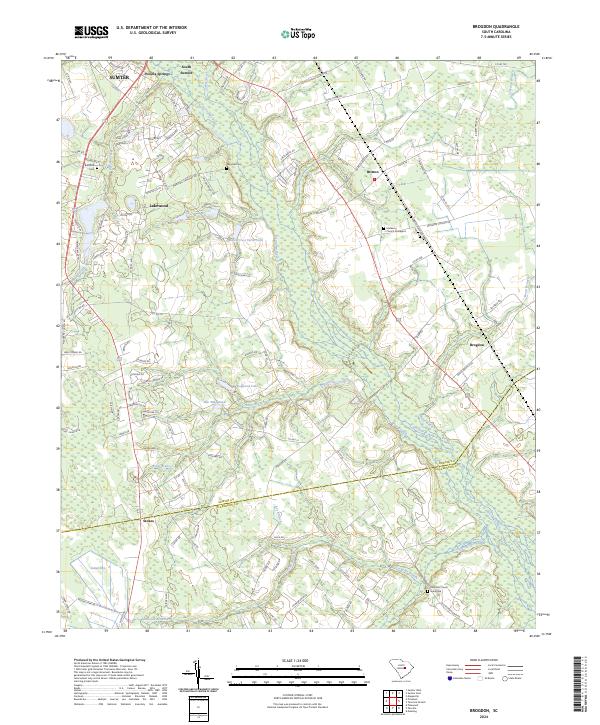
2024 Map of Brogdon
USGS Topo · Published 2024About this map
Pocataligo River and its intricate network of tributaries, including Pocalla Creek, Turkey Creek, and Briar Branch, define the low-lying terrain of this region south of Sumter. The landscape is a mosaic of wetlands and small rural communities like Lakewood, Pocalla Springs, and Brogdon. Significant for local history and genealogy, several burial grounds are scattered across the sheet, such as Bradford Cem and the Rock-Hill Church Graveyard.
Find a feature on this map
121 named features on this map. Tap any name to fly to it.
Don’t see what you’re looking for? This feature index may not catch every label — zoom into the map to look around manually.
Map Details
Editions of this 2024 Brogdon Map
This is the sole edition of this map. No revisions or reprints were ever made.
Other maps of this area

1920 · Mayesville
USGS Topo · 1:48,000

1920 · Manning
USGS Topo · 1:48,000

1921 · Manning
USGS Topo · 1:62,500

1921 · Mayesville
USGS Topo · 1:62,500

1943 · Mayesville
USGS Topo · 1:62,500

1944 · Manning
USGS Topo · 1:62,500

1946 · Sumter
USGS Topo · 1:62,500

1954 · Augusta
USGS Topo · 1:250,000

1957 · Sumter East
USGS Topo · 1:24,000

1957 · Sumter West
USGS Topo · 1:24,000