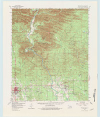
1981 Map of Broken Bow
USGS Topo · Published 1981About this map
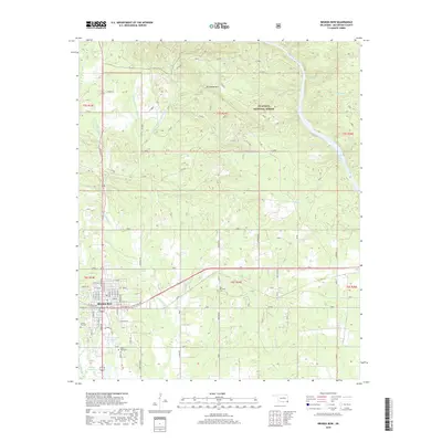
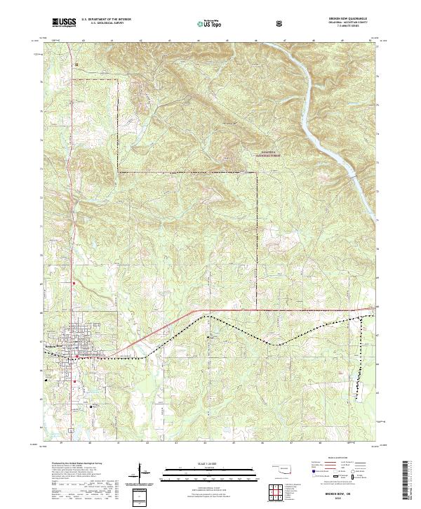
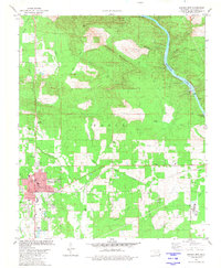
Broken Bow serves as the focal point of this McCurtain County survey, situated just south of the winding Mountain Fork river. The landscape is a transition from the dense woodlands of Beavers Bend State Park and Horseshoe Mountain in the north to the more developed areas surrounding the city center. Industrial and civil infrastructure is evident through the Texas and Oklahoma Eastern railroad corridor, several Gravel Pits, and a Substation. Local life is well-documented via several institutional sites, including Oka Achukma Ch, Oak Grove Ch, and a series of neighborhood schools such as Dierks Sch and Bennett Sch. The map also captures the river's character as it flows past Presbyterian Falls and under the Aqueduct, illustrating the vital role of water management in this region of Oklahoma.
Find a feature on this map
54 named features on this map. Tap any name to fly to it.
Don’t see what you’re looking for? This feature index may not catch every label — zoom into the map to look around manually.
Map Details
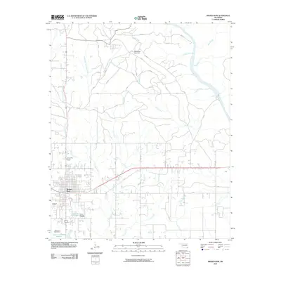
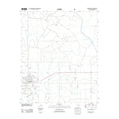
Editions of this 1981 Broken Bow Map
This is the sole edition of this map. No revisions or reprints were ever made.
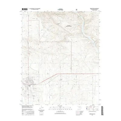
Historical Maps of Broken Bow Through Time
7 maps found