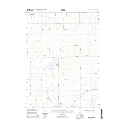
2014 Map of Bronson North
USGS Topo · Published 2014About this map
Bronson anchors the southern edge of this Branch County landscape, where the agricultural plains are punctuated by a significant chain of glacial lakes and winding waterways. The central feature, Matteson Lake, serves as a focal point for the settlement of Matteson, surrounded by a network of rural roads such as W Colon Rd and N Matteson Lake Rd. This 2014 survey reveals a well-established land division system, with township and range lines like t6s r8w and t5s r7w framing the terrain.
Find a feature on this map
72 named features on this map. Tap any name to fly to it.
Don’t see what you’re looking for? This feature index may not catch every label — zoom into the map to look around manually.
Map Details
Editions of this 2014 Bronson North Map
This is the sole edition of this map. No revisions or reprints were ever made.
Other maps of this area

1918 · Union City
USGS Topo · 1:62,500

1918 · Leonidas
USGS Topo · 1:62,500

1944 · Leonidas
USGS Topo · 1:62,500

1947 · Union City
USGS Topo · 1:62,500

1947 · Leonidas
USGS Topo · 1:62,500

1950 · Leonidas
USGS Topo · 1:62,500

1950 · Union City
USGS Topo · 1:62,500

1953 · Fort Wayne
USGS Topo · 1:250,000

1956 · Fort Wayne
USGS Topo · 1:250,000

1958 · Grand Rapids
USGS Topo · 1:250,000