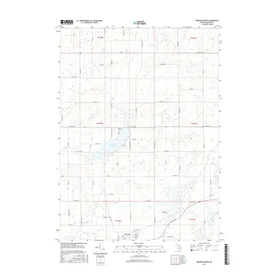
2017 Map of Bronson North
USGS Topo · Published 2017About this map
Matteson Lake serves as a central geographic anchor for this part of Branch County, with its eastern shoreline defined by N Matteson Lake Rd and Salek Ln. The landscape is a network of glacial lakes and small watercourses, including Swan Cr, Riley Cr, and Little Swan Cr, which wind through the agricultural sections of the county. In the southern portion of the map, the city of Bronson establishes the primary urban footprint, where industrial areas meet residential streets near S Main St.
Find a feature on this map
70 named features on this map. Tap any name to fly to it.
Don’t see what you’re looking for? This feature index may not catch every label — zoom into the map to look around manually.
Map Details
Editions of this 2017 Bronson North Map
This is the sole edition of this map. No revisions or reprints were ever made.
Other maps of this area

1918 · Union City
USGS Topo · 1:62,500

1918 · Leonidas
USGS Topo · 1:62,500

1944 · Leonidas
USGS Topo · 1:62,500

1947 · Union City
USGS Topo · 1:62,500

1947 · Leonidas
USGS Topo · 1:62,500

1950 · Leonidas
USGS Topo · 1:62,500

1950 · Union City
USGS Topo · 1:62,500

1953 · Fort Wayne
USGS Topo · 1:250,000

1956 · Fort Wayne
USGS Topo · 1:250,000

1958 · Grand Rapids
USGS Topo · 1:250,000