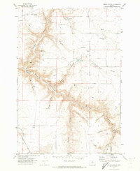
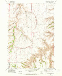
1971 Map of Bronx Canyon
USGS Topo · Published 1973About this map
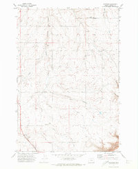
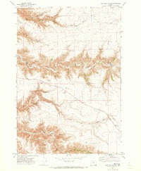
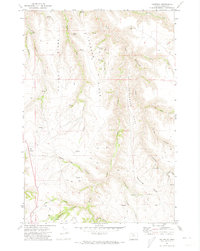
Buck Hollow carves a deep path across the boundary of Sherman and Wasco Counties in this 1971 survey. The landscape is defined by its complex drainage network, where Bronx Canyon, Finnegan Canyon, and Mule Canyon converge toward the main hollow. At the center of the sheet lies the Liberty (Site), marking the location of a former settlement. While human presence is sparse, the map documents a few utilitarian landmarks of the early 1970s, including a Landing Strip, a Well, and a Gravel Pit. Transportation is limited to a handful of primary routes like Bakeoven Road and primitive paths such as the Bronx Trail and various Jeep Trails. Water sources are critical in this high-desert environment, noted by Bibby Pond and scattered Springs that appear at the base of several draws.
Find a feature on this map
30 named features on this map. Tap any name to fly to it.
Don’t see what you’re looking for? This feature index may not catch every label — zoom into the map to look around manually.
Map Details
Editions of this 1971 Bronx Canyon Map
This is the sole edition of this map. No revisions or reprints were ever made.
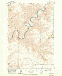
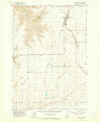
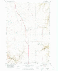
Other maps of this area

1953 · The Dalles
USGS Topo · 1:250,000

1956 · The Dalles
USGS Topo · 1:250,000

1957 · The Dalles
USGS Topo · 1:250,000
1962 · Sinamox
USGS Topo · 1:24,000
1962 · Grass Valley
USGS Topo · 1:24,000
1970 · Kent
USGS Topo · 1:24,000
1970 · Macken Canyon
USGS Topo · 1:24,000
1970 · Rosebush
USGS Topo · 1:24,000
1971 · Dead Dog Canyon
USGS Topo · 1:24,000
1971 · Criterion
USGS Topo · 1:24,000