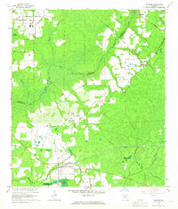
1966 Map of Brooker
USGS Topo · Published 1967About this map
Brooker and the surrounding piney lowlands of the New River basin are captured here in the mid-1960s, showing a landscape defined by timber, small-scale farming, and infrastructure. The map documents the rural community of Danville near the State Division of Corrections and the local center at Brooker, where the Seaboard Coast Line railroad bisects the town. Local spiritual and social life is anchored by several rural landmarks, including the New River Ch and Mount Vernon Ch, while the presence of the Abandoned Airport and a Compressor Station reflects the evolving technical footprint in this corner of North-Central Florida.
Find a feature on this map
29 named features on this map. Tap any name to fly to it.
Don’t see what you’re looking for? This feature index may not catch every label — zoom into the map to look around manually.
Map Details
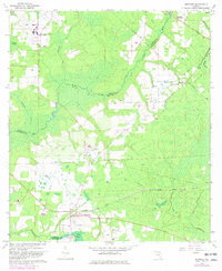
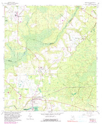
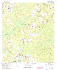
Editions of this 1966 Brooker Map
4 editions found
Other maps of this area

1918 · Lawtey
USGS Topo · 1:62,500

1941 · Starke
USGS Topo · 1:62,500

1948 · Starke
USGS Topo · 1:50,000

1949 · Sampson
USGS Topo · 1:24,000

1949 · Waldo
USGS Topo · 1:24,000

1949 · Starke
USGS Topo · 1:62,500

1954 · Gainesville
USGS Topo · 1:250,000

1954 · Valdosta
USGS Topo · 1:250,000

1958 · Valdosta
USGS Topo · 1:250,000

1958 · Gainesville
USGS Topo · 1:250,000